Dayton in Greene County, Ohio — The American Midwest (Great Lakes)
A Starting Device
Huffman Prairie Flying Field
| — | Dayton Aviation Heritage National Historic Park | — |
Photographed by Don Morfe, July 19, 2013
1. A Starting Device Marker
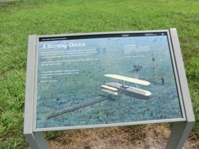
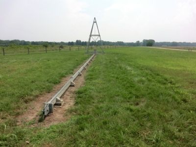
But after they built a catapult in September 1904, the Wrights could launch their flyer with only 60 feet of rail.
It is evident that we will have to build a starting device that will render us independent of wind and are now designing one...
Wilbur Wright, August 8, 1904
Catapult-assisted Takeoffs
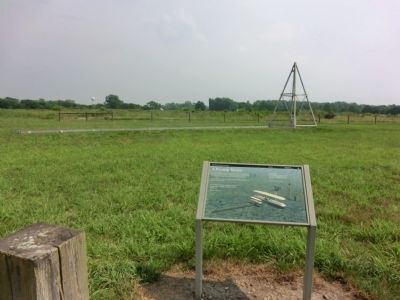
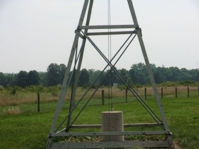
A team of horses pulled a 1600-pound counterweight to the top of the wooden derrick. When the weight fell sixteen feet, it added enough speed to get a flying machine airborne—regardless of wind direction and strength.
The catapult in front of you is a replica.
Erected by National Park Service.
Topics. This historical marker is listed in this topic list: Air & Space. A significant historical month for this entry is September 1904.
Location. 39° 48.254′ N, 84° 3.66′ W. Marker is in Dayton, Ohio, in Greene County. It is on Pylon Road just north of Springfield Street. Access is from Highway 444
this page online

Regionally, this marker is in the Miami Valley. It is also in the American Midwest and in the Corn Belt. Globally, it is in North America, the Western Hemisphere, the Western World, and the Anglosphere. Historically, it finds itself in what was once the Haudenosaunee (Iroquois) Confederacy, the territory of the Mississippian Culture, and the Northwest Territory.
Other nearby markers. At least 8 other markers are within walking distance of this marker: They Had Done It! (a few steps from this marker); Corner Boundary No. 1 (within shouting distance of this marker); Follow the Flight Path (within shouting distance of this marker); Huffman Prairie State Natural Landmark (within shouting distance of this marker); 'Higher, Orville, Higher!' (about 400 feet away, measured in a direct line); Miss that Tree! (about 500 feet away); A Tough Start after Kitty Hawk (about 600 feet away); Corner Boundary No. 7 (about 800 feet away). Touch for a list and map
Photographed by Don Morfe, July 19, 2013
2. A Starting Device Marker
Photographed by Don Morfe, July 19, 2013
3. A Starting Device
Photographed by Don Morfe, July 19, 2013
4. A Starting Device
Credits. This page was last revised on November 24, 2025. It was originally submitted on August 13, 2013, by Don Morfe of Baltimore, Maryland. This page has been viewed 827 times since then and 28 times this year. Photos: 1, 2, 3, 4. submitted on August 13, 2013, by Don Morfe of Baltimore, Maryland. • Al Wolf was the editor who published this page.
