Millinocket in Penobscot County, Maine — The American Northeast (New England)
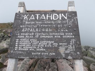
Katahdin
Northern terminus of the
Appalachian Trail
A mountain footpath extending over
2000 miles to Springer Mtn. Georgia
← Thoreau Spring 1.0 m.
← Katahdin Stream Campground 5.2
← Penobscot West Branch at Abol Bridge 15.1
← Maine-New Hampshire State Line 281.4
← Mt. Washington, N. H. 332.5
← Springer Mtn., Georgia 2178.3
Baxter State Park
Topics. This historical marker is listed in this topic list: Natural Features.
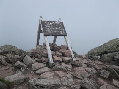
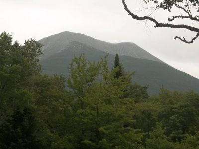
Location. 45° 54.27′ N, 68° 55.294′ W. Marker is in Millinocket, Maine, in Penobscot County. Marker can be reached from Baxter Park Road (Maine Route 157), on the right when traveling north. Marker is located in Baxter State Park, at the summit of Mount Katahdin. Touch for map. Marker is in this post office area: Millinocket ME 04462, United States of America. Touch for directions.
Other nearby markers. At least 5 other markers are within 13 miles of this marker, measured as the crow flies. Mount Katahdin (here, next to this marker); Baxter State Park (approx. 3.3 miles away); Want to see a moose? Think like one! (approx. 12.7 miles away); The Golden Road (approx. 12.7 miles away); Destination Katahdin! (approx. 12.7 miles away).
Credits. This page was last revised on June 16, 2016. It was originally submitted on August 15, 2013, by Bill Coughlin of Woodland Park, New Jersey. This page has been viewed 624 times since then and 18 times this year. Photos: 1, 2, 3, 4. submitted on August 15, 2013, by Bill Coughlin of Woodland Park, New Jersey.


