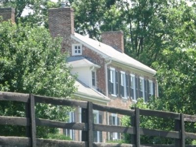
Near Paris in Bourbon County, Kentucky — The American South (East South Central)
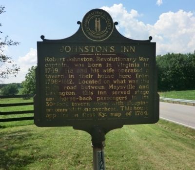
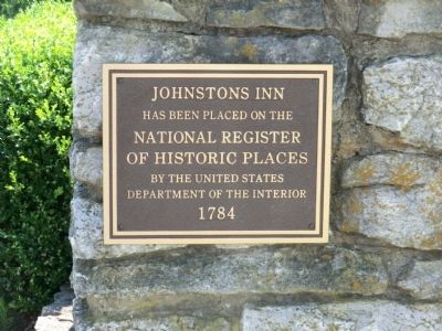
Johnston's Inn
Erected 1960 by Kentucky Historical Society-Kentucky Department of Highways. (Marker Number 1283.)
Topics and series. This historical marker is listed in this topic list: War, US Revolutionary. In addition, it is included in the Kentucky Historical Society series list. A significant historical year for this entry is 1749.
Location. 38° 13.267′ N, 84° 21.017′ W. Marker is near Paris, Kentucky, in Bourbon County. Marker is on Georgetown Road (U.S. 460) east of Clay Kiser Road, on the right when traveling east. Touch for map. Marker is in this post office area: Paris KY 40361, United States of America. Touch for directions.
Other nearby markers. At least 8 other markers are within 6 miles of this marker, measured as the crow flies. Centerville Baptist Church (approx. 2.2 miles away); Frankfort & Cincinnati Railroad / The Depot Centreville - Stop 32 (approx. 2.2 miles away); Townsend Springs Farm (approx. 2.3 miles away); Silas Baptist Church (approx. 3.7 miles away); Bourbon Whiskey / Jacob Spears (approx. 4.6 miles away); Bourbon County Confederate Memorial (approx. 4.8 miles away); Paris Cemetery Co. Inc. Trail (approx. 4.9 miles away); First Christian Church (approx. 5.3 miles away). Touch for a list and map of all markers in Paris.
Credits. This page was last revised on June 16, 2016. It was originally submitted on August 15, 2013, by Don Morfe of Baltimore, Maryland. This page has been viewed 738 times since then and 59 times this year. Photos: 1, 2, 3, 4, 5. submitted on August 15, 2013, by Don Morfe of Baltimore, Maryland. • Al Wolf was the editor who published this page.
