West Columbia in Lexington County, South Carolina — The American South (South Atlantic)
River Inn, c. 1740s
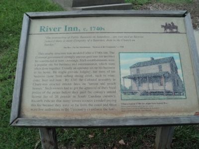
“ The transacting of Public Business on Saturdays . . . are executed at Taverns [where] there is more Company of a Saturday, than in the Church on Sunday.”
This nearby structure was modeled after a 1740s inn. The Colonial government strongly encouraged inns (or taverns) be constructed at ferry crossings. Such establishments were a popular site for business and entertainment, which were often done together. Usually an operator set up his business in his home. He might provide lodging, but most of his business came from selling strong drink, such as wine, cider, beer and rum. By 1741 the Colonial assembly in Charleston enacted stricter laws on “tavern and punch houses.” Such owners had to get the approval of their local justice of the peace before they paid the colony’s annual license fee of 20 pounds in South Carolina currency. Records indicate that many tavern owners avoided paying this fee because they were so far from the coast and there were few authorities in the Upcountry to enforce the laws.
Topics. This historical marker is listed in this topic list: Colonial Era. A significant historical year for this entry is 1768.
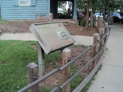
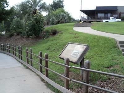
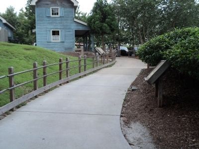
Location. 33° 59.677′ N, 81° 3.161′ W. Marker is in West Columbia, South Carolina, in Lexington County. Marker can be reached from Alexander Road, on the right when traveling north. Marker is located along the Three Rivers Greenway, on the banks of the Congaree River. Touch for map. Marker is in this post office area: West Columbia SC 29169, United States of America. Touch for directions.
Other nearby markers. At least 8 other markers are within walking distance of this marker. Gervais Street Bridge (here, next to this marker); “City of Columbia” Anchor (a few steps from this marker); Friday’s Ferry (within shouting distance of this marker); Old Congaree River Bridges (within shouting distance of this marker); Milestones (about 300 feet away, measured in a direct line); Congaree River Bridges (approx. ¼ mile away); 1896 Power Plant (approx. ¼ mile away); a different marker also named Gervais Street Bridge (approx. ¼ mile away). Touch for a list and map of all markers in West Columbia.
More about this marker. A picture on the right side of the marker depicts “What a typical 1740s inn might have looked like.” It has a caption of “Drawn from a photograph of the Lee Tavern. Photo source courtesy of William Barr & Associates. Image courtesy of the S.C. State Museum.”
Credits. This page was last revised on June 16, 2016. It was originally submitted on August 16, 2013, by Bill Coughlin of Woodland Park, New Jersey. This page has been viewed 681 times since then and 34 times this year. Photos: 1, 2, 3, 4. submitted on August 16, 2013, by Bill Coughlin of Woodland Park, New Jersey.


