Tybee Island in Chatham County, Georgia — The American South (South Atlantic)
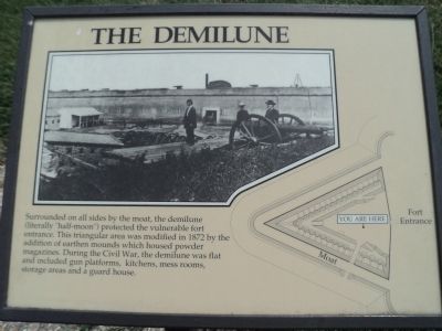
The Demilune
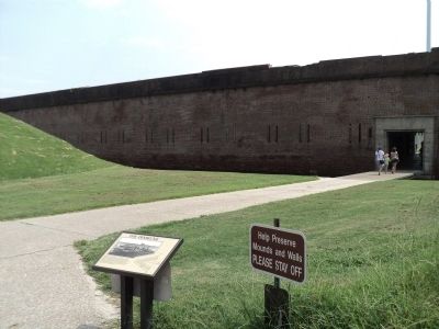
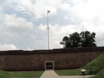
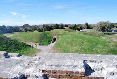
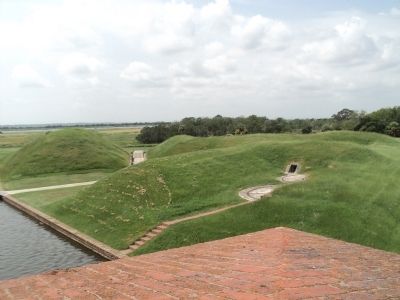
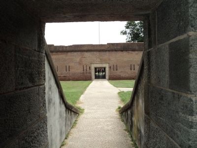
Surrounded on all sides by the moat, the demilune (literally “half-moon”) protected the vulnerable fort entrance. This triangular area was modified in 1872 by the addition of earthen mounds which housed powder magazines. During the Civil War, the demilune was flat and included gun platforms, kitchens, mess rooms, storage areas and a guard house.
Topics. This historical marker is listed in these topic lists: Forts and Castles • War, US Civil. A significant historical year for this entry is 1872.
Location. 32° 1.622′ N, 80° 53.468′ W. Marker is on Tybee Island, Georgia, in Chatham County. Marker can be reached from Fort Pulaski Road, on the right when traveling north. Marker is located at Fort Pulaski National Monument, near the entrance to the fort. Touch for map. Marker is in this post office area: Tybee Island GA 31328, United States of America. Touch for directions.
Other nearby markers. At least 8 other markers are within walking distance of this marker. German Volunteers (a few steps from this marker); Parrott Rifle (within shouting distance of this marker); Engineering Dry Land (within shouting distance of this marker); Southwest Magazine (within shouting distance of this marker); Burial Sites of Immortal 600 (within shouting distance of this marker); Immortal Six Hundred (within shouting distance of this marker); Southwest Bastion (within shouting distance of this marker); Changing Landscape (within shouting distance of this marker). Touch for a list and map of all markers in Tybee Island.
More about this marker. A photograph of soldiers inside Fort Pulaski appears at the top of the marker. The right side of the marker contains a map of the fort entrance indicating the location of the marker.
Also see . . . Fort Pulaski National Monument. National Park Service website. (Submitted on August 17, 2013, by Bill Coughlin of Woodland Park, New Jersey.)
Credits. This page was last revised on May 3, 2020. It was originally submitted on August 17, 2013, by Bill Coughlin of Woodland Park, New Jersey. This page has been viewed 616 times since then and 69 times this year. Photos: 1, 2, 3. submitted on August 17, 2013, by Bill Coughlin of Woodland Park, New Jersey. 4. submitted on September 27, 2015, by Brandon Fletcher of Chattanooga, Tennessee. 5, 6. submitted on August 17, 2013, by Bill Coughlin of Woodland Park, New Jersey.
