Near Ford in Madison County, Kentucky — The American South (East South Central)
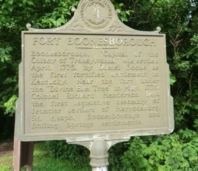
Fort Boonesborough
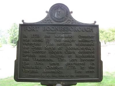
(Reverse)
Fort Boonesborough: In 1778, the Kentucky frontier was saved by two major military victories: The settlers withstood the Great Siege of Boonesborough and George Rogers Clark defeated British and Indians at Kaskaskia and Vincennes. This fort became the first town chartered in Kentucky, October, 1779, by the Virginia Assembly. See over.
Presented by Ky. Soc. Sons of the Revolution.
Erected 1975 by Kentucky Historical Society-Kentucky Department of Highways. (Marker Number 1520.)
Topics and series. This historical marker is listed in this topic list: Patriots & Patriotism. In addition, it is included in the Kentucky Historical Society series list. A significant historical year for this entry is 1775.
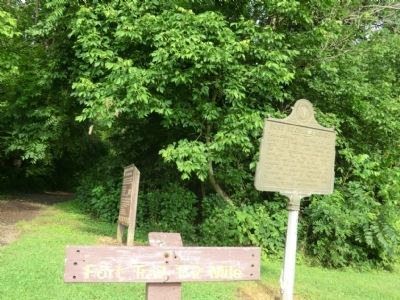
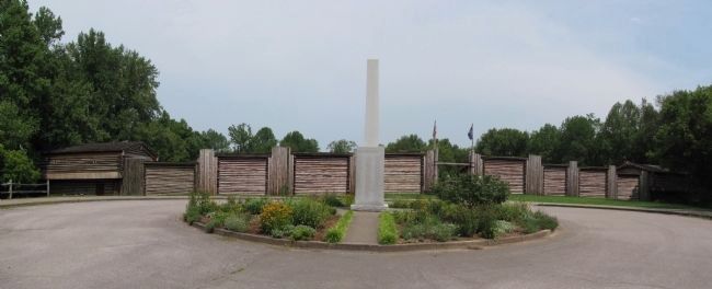
Location. 37° 53.733′ N, 84° 16.05′ W. Marker is near Ford, Kentucky, in Madison County. Marker is on Kentucky Route 388 east of Boonebovough Road (Kentucky Route 627). The marker is located within the Fort Boonesborough State Park. Touch for map. Marker is in this post office area: Richmond KY 40475, United States of America. Touch for directions.
Other nearby markers. At least 8 other markers are within walking distance of this marker. Nathaniel Hart / Home of Capt. Nathaniel Hart (within shouting distance of this marker); First Ferry in Kentucky / Col. Richard Callaway (about 500 feet away, measured in a direct line); Col. Richard Callaway / First Ferry in Kentucky (about 500 feet away); The Fort Boonesborough Monument (approx. 0.2 miles away); The First Christian Service in Kentucky (approx. ¼ mile away); Pioneer National Monument Association (approx. 0.3 miles away); Building Fort Boonesborough (approx. 0.3 miles away); Boone Trace (approx. 0.3 miles away).
Credits. This page was last revised on November 15, 2022. It was originally submitted on August 17, 2013, by Don Morfe of Baltimore, Maryland. This page has been viewed 1,627 times since then and 21 times this year. Photos: 1, 2. submitted on August 17, 2013, by Don Morfe of Baltimore, Maryland. 3, 4. submitted on February 2, 2014, by Lee Hattabaugh of Capshaw, Alabama. • Al Wolf was the editor who published this page.


