West Ashley in Charleston in Charleston County, South Carolina — The American South (South Atlantic)
Protecting the Colony – The Palisade Wall
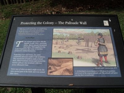
“We have with much adoe, our people being weake by reason of scarcity of provisions, pallisadoed about 9 acres of land . . . ”
21 March 1671
The colonists were aware that the Spanish, hostile Native Americans and predatory animals threatened their safety. Well-supplied by the Lords Proprietors, they came to Carolina prepared to defend themselves.
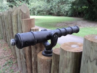
Neglecting crops and homes, the entire community labored to build a wall of defense. They moved tons of earth to make a broad ditch, felled hundreds of trees and erected the massive palisade that stretched 1,500 feet across Albemarle Point.
Never sure of when an attack might occur, the men carried guns in the fields and even armed their slaves.
Topics. This historical marker is listed in these topic lists: Colonial Era • Settlements & Settlers. A significant historical date for this entry is March 21, 1671.
Location. 32° 48.2′ N, 79° 59.026′ W. Marker is in Charleston, South Carolina, in Charleston County. It is in West Ashley. Marker can be reached from Old Town Plantation Road. Marker is located on the History Trail at Charles Towne Landing. Touch for map. Marker is at or near this postal address: 1500 Old Towne Road, Charleston SC 29407, United States of America. Touch for directions.
Other nearby markers. At least 8 other markers are within walking distance of this marker. Buildings “All of Wood”? (within shouting distance of this marker); Seeking Wealth, Sowing Servitude (about 300 feet away, measured in a direct line); A Temporary Home? (about 300 feet away); Ghost Structure (about 300 feet away); Crime & Punishment: “Tyed to the Usual Tree” (about 400 feet away); A Common Lodging (about 500 feet away); Stained Dirt?! (about 500 feet away); Tales of the Tub (about 500 feet away). Touch for a list and map of all markers in Charleston.
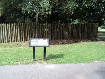
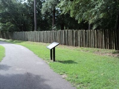
More about this marker. A picture on the right side of the marker shows the “Palisade under construction, 1670. Illustration by Darby Erd.” A photo of archaeological work being done in this vicinity appears at the bottom center of the marker. It has a caption of “Archaeologists excavating here in 1969 found the postholes and trench of the original palisade wall. The palisade wall before you has been reconstructed.”
Credits. This page was last revised on February 16, 2023. It was originally submitted on August 19, 2013, by Bill Coughlin of Woodland Park, New Jersey. This page has been viewed 529 times since then and 40 times this year. Photos: 1, 2, 3, 4. submitted on August 19, 2013, by Bill Coughlin of Woodland Park, New Jersey.


