
Marietta in Cobb County, Georgia — The American South (South Atlantic)
Cherokee Treaty
May 6, 1828
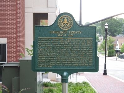
Photographed by Judith Barber, August 21, 2013
1. Cherokee Treaty Marker
Topics. This historical marker is listed in this topic list: Indigenous Peoples and Communities. A significant historical month for this entry is May 1827.
Location. 33° 57.198′ N,
this page online

Regionally, this marker is in Georgia’s Piedmont and in Metro Atlanta. It is also in the American South and specifically in the Deep South. Globally, it is in North America, the Western Hemisphere, the Western World, and the Anglosphere. Historically, it finds itself in what was once the original Cherokee Nation, the territory of the Mississippian Culture, one of the original Thirteen Colonies, one of the Confederate States of America, and the Antebellum South.
Other nearby markers. At least 8 other markers are within walking distance of this marker: Judge Debra Halpern Bernes (about 400 feet away, measured in a direct line); Robert Edward Flournoy, Jr. (about 400 feet away); Old Zion Heritage Museum (about 600 feet away); Cobb County (about 700 feet away); Alexander Stephens Clay (about 700 feet away);

Photographed by Judith Barber, August 21, 2013
2. Cherokee Treaty Marker
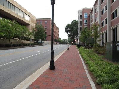
Photographed by Judith Barber, August 21, 2013
3. Cherokee Treaty Marker
Credits. This page was last revised on June 16, 2016. It was originally submitted on August 22, 2013, by Judith Barber of Marietta, Georgia. This page has been viewed 891 times since then and 37 times this year. Last updated on August 23, 2013, by Keith S Smith of West Chester, Pennsylvania. Photos: 1, 2, 3. submitted on August 22, 2013, by Judith Barber of Marietta, Georgia. • Bernard Fisher was the editor who published this page.
