Prince Frederick in Calvert County, Maryland — The American Northeast (Mid-Atlantic)
Panic in Prince Frederick
Star-Spangled Banner National Historic Trail
| — | National Park Service, U.S. Department of the Interior | — |
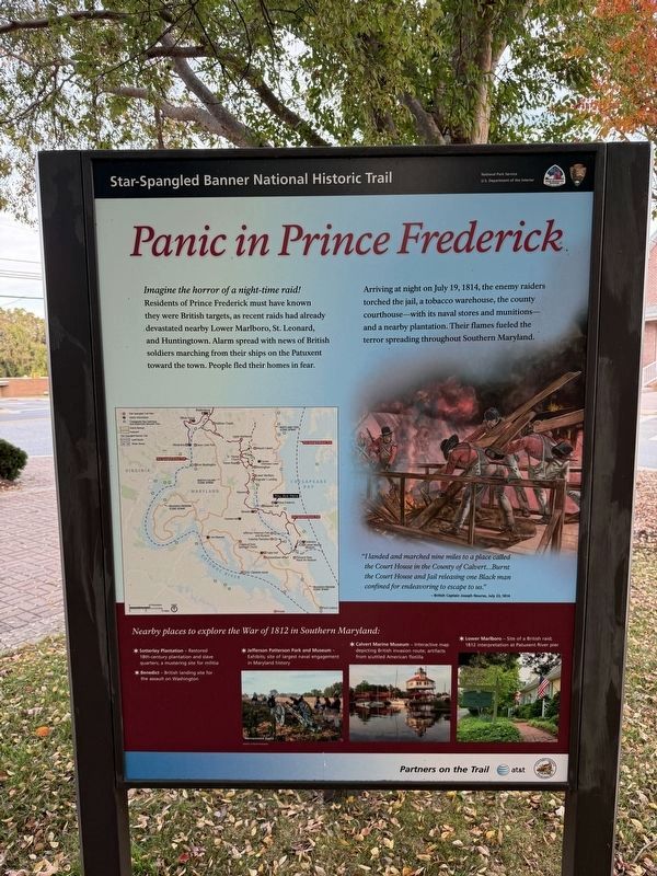
Imagine the horror of a night-time raid!
Residents of Prince Frederick must have known they were British targets, as recent raids had already devastated nearby Lower Marlboro, St. Leonard, and Huntingtown. Alarm spread with news of British soldiers marching from their ships on the Patuxent toward the town. People fled their homes in fear.
Arriving at night on July 19, 1814, the enemy raiders torched the jail, a tobacco warehouse, the county courthouse - with hits naval stores and munitions - and a nearby plantation. Their flames fueled the terror spreading throughout Southern Maryland.
"I landed and marched nine miles to a place called the Court House in the County of Calvert...Burnt the Court House and Jail releasing one Black man confined for endeavoring to escape to us."
- British Captain Joseph Nourse, July 23, 1814.
Nearby places to explore the War of 1812 in Southern Maryland:
✶ Sotterley Plantation - Restored 18th-century plantation and slave quarters, a mustering site for militia.
✶ Benedict - British landing site for the assault on Washington.
✶ Jefferson Patterson Park and Museum- Exhibits; site of largest naval engagement in Maryland history.
Click or scan to see
this page online
✶ Calvert Marine Museum - Interactive map depicting British invasion route; artifacts from scuttled American flotilla.
✶ Lower Marlboro - Site of a British raid; 1812 interpretation at Patuxent River pier.
Erected by National Park Service, U.S. Department of the Interior.
Topics and series. This historical marker is listed in this topic list: War of 1812. In addition, it is included in the Star-Spangled Banner National Historic Trail series list. A significant historical month for this entry is July 1834.
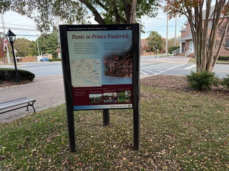
Location. 38° 32.296′ N, 76° 34.948′ W. Marker is in Prince Frederick, Maryland, in Calvert County. It is at the intersection of Main Street (Maryland Route 765) and Duke Steet, on the right when traveling south on Main Street. Touch for map. Marker is in this post office area: Prince Frederick MD 20678, United States of America. Touch for directions.

Regionally, this marker is in Southern Maryland. It is also in the American South, specifically in the Upper South, in the Mid-Atlantic, in the Tidewater, in the Chesapeake Bay Region, and on the
Photographed by F. Robby, August 20, 2013
2. Panic in Prince Frederick Marker
Other nearby markers. At least 8 other markers are within 2 miles of this marker, measured as the crow flies: "O! say can you see…" (a few steps from this marker); War in the Chesapeake (a few steps from this marker); Michael J. Moore (a few steps from this marker); Veterans Green (within shouting distance of this marker); World War Memorial (within shouting distance of this marker); Prince Frederick Library “Firsts” (approx. 0.2 miles away); Arthur Storer Planetarium (approx. 0.9 miles away); W. S. Brooks High School (approx. 1.1 miles away). Touch for a list and map of all markers in Prince Frederick.
Additional keywords. Star Spangled Banner National Historic Trail
Credits. This page was last revised on November 3, 2025. It was originally submitted on August 24, 2013, by F. Robby of Baltimore, Maryland. This page has been viewed 1,516 times since then and 68 times this year. Photos: 1. submitted on November 3, 2025, by Devry Becker Jones of Washington, District of Columbia. 2. submitted on August 24, 2013, by F. Robby of Baltimore, Maryland. 3. submitted on November 3, 2025, by Devry Becker Jones of Washington, District of Columbia.
