Near Ligonier in Westmoreland County, Pennsylvania — The American Northeast (Mid-Atlantic)
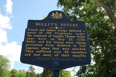
Bullet's Defeat
Erected 2002 by Pennsylvania Historical and Museum Commission.
Topics and series. This historical marker is listed in this topic list: War, French and Indian. In addition, it is included in the Pennsylvania Historical and Museum Commission series list. A significant historical month for this entry is May 1955.
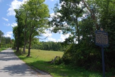
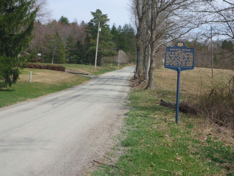
Location. 40° 14.265′ N, 79° 11.209′ W. Marker is near Ligonier, Pennsylvania, in Westmoreland County. Marker is on Old Forbes Road, 0.7 miles south of Gravel Hill Road, on the right when traveling south. Touch for map. Marker is in this post office area: Ligonier PA 15658, United States of America. Touch for directions.
Other nearby markers. At least 8 other markers are within 3 miles of this marker, measured as the crow flies. Original Course of Forbes Road (approx. 0.6 miles away); Ligonier Train Crash (approx. 1.8 miles away); Loyalhanning (approx. 2.3 miles away); Forbes Road (approx. 2˝ miles away); Fort Ligonier (approx. 2.6 miles away); Building the Highway (approx. 2.7 miles away); Desert Storm Memorial (approx. 2.7 miles away); a different marker also named Fort Ligonier (approx. 2.7 miles away). Touch for a list and map of all markers in Ligonier.
Also see . . .
1. Wikipedia article on Thomas Bullitt. (Submitted on September 4, 2013, by Mike Wintermantel of Pittsburgh, Pennsylvania.)
2. Capt Thomas Bullitt at FindAGrave.com. (Submitted on September 4, 2013, by Mike Wintermantel of Pittsburgh, Pennsylvania.)
Credits. This page was last revised on April 23, 2018. It was originally submitted on August 24, 2013, by Mike Wintermantel of Pittsburgh, Pennsylvania. This page has been viewed 1,254 times since then and 40 times this year. Photos: 1, 2. submitted on August 24, 2013, by Mike Wintermantel of Pittsburgh, Pennsylvania. 3. submitted on April 23, 2018, by Tim Maurice of Westerville, Ohio.


