Mankato in Blue Earth County, Minnesota — The American Midwest (Upper Plains)
Highland Park
Mankato's "First" City Park
Photographed by K. Linzmeier, June 20, 2013
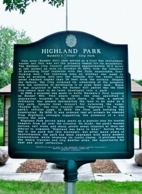
1. Highland Park Marker
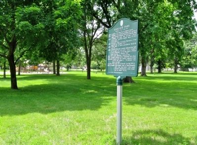
In 1888, a proposal was made to build Mankato's first hospital on Bunker Hill. Five years later, the plan specified a quarantine hospital to be built there. In 1896, a special ordinance was passed designating the land to be used as a city park. Despite local support for retaining the name, "Bunker Hill," the City Council chose "Highland" to be the park's official name. In 1905, the first park building was
this page online
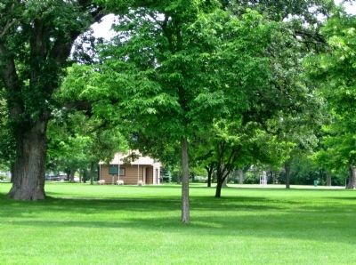
Highland Park served many years as a popular stop for tourist campers from all over the country. No doubt, the park's wooded ravines, tall trees and shady picnic areas inspired at least one tourist to comment, "Highland was hard to beat." During World War II, the park fell into disrepair; but after many years of improvements, the park has been upgraded with many modern conveniences, while retaining its rustic charm. It provides both the weary traveler and city dweller alike, the opportunity for rest and quiet reflection.
Mankato Sesquicentennial Committee
Mankato, Minnesota
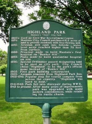
1860's: Used as Civil War Recruitment Center.
1874: Mankato City Council purchased 10.2 acres of land to provide residents with free-flowing well.
1875: Artesian well sunk into hillside -- water level never reached higher than 78 feet from surface.
1888: Proposal made to build Mankato's first hospital on "Bunker Hill".
1893: Plans made to build
Photographed by K. Linzmeier, June 20, 2013
2. Highland Park Marker
1896: Special Ordinance passed designating land to be used as city park. City Council chose "Highland" to be the park's official name instead of "Bunker Hill".
1905: First park building constructed.
1909: Animals removed from Highland Park Zoo.
1905-1941: Popular stop for tourist campers from across the country. "Highland was hard to beat."
1941-1945: Park fell into disrepair during WWII.
1945 to present: After many years of improvements, park was upgraded with many modern conveniences, while retaining its rustic charm.
Erected 2002 by Sons of the American Legion, Lorentz Squadron 11, Mankato Sesquicentennial Committee, Mankato, Minnesota.
Topics. This historical marker is listed in this topic list: Notable Places. A significant historical month for this entry is October 1869.
Location. 44° 9.335′ N, 93° 59.747′ W. Marker is in Mankato, Minnesota, in Blue Earth County. It is on Weaver Street east of Warren Street, on the right when traveling east. Marker is in Highland Park. Touch for map. Marker is at or near this postal address: 950 Warren Street, Mankato MN 56001, United States of America. Touch for directions.

Regionally,
Photographed by K. Linzmeier, June 20, 2013
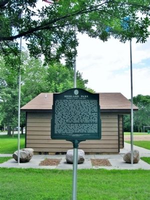
3. Highland Park Marker
Other nearby markers. At least 8 other markers are within walking distance of this marker: Eberhart House (approx. half a mile away); Childhood Home of Maud Hart Lovelace (approx. half a mile away); Maud Hart Lovelace (approx. half a mile away); Kenney House (approx. 0.6 miles away); Childhood Home of Frances "Bick" Kenney (approx. 0.6 miles away); Civil War Monument (approx. 0.6 miles away); Blue Earth County Courthouse (approx. 0.6 miles away); Lincoln Park (approx. 0.6 miles away). Touch for a list and map of all markers in Mankato.
Photographed by K. Linzmeier, June 20, 2013
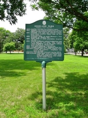
4. Highland Park Marker
Photographed by K. Linzmeier, June 20, 2013
5. Highland Park and Marker
Photographed by K. Linzmeier, June 20, 2013
6. Highland Park
Credits. This page was last revised on June 16, 2016. It was originally submitted on September 1, 2013, by Keith L of Wisconsin Rapids, Wisconsin. This page has been viewed 1,074 times since then and 29 times this year. Photos: 1, 2, 3, 4, 5, 6. submitted on September 1, 2013, by Keith L of Wisconsin Rapids, Wisconsin.
