Croom in Prince George's County, Maryland — The American Northeast (Mid-Atlantic)
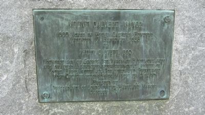
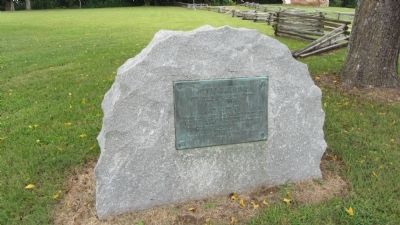
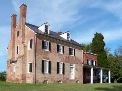
Mount Calvert Manor
Topics. This historical marker is listed in these topic lists: Colonial Era • Settlements & Settlers. A significant historical date for this entry is February 17, 1658.
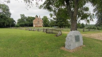
Location. 38° 47.099′ N, 76° 42.927′ W. Marker is in Croom, Maryland, in Prince George's County. Marker is on Mount Calvert Road, 0.4 miles east of McClure Road, on the left. Marker is in the Mount Calvert Historical and Archaeological Park, just north of the parking area. Touch for map. Marker is in this post office area: Upper Marlboro MD 20772, United States of America. Touch for directions.
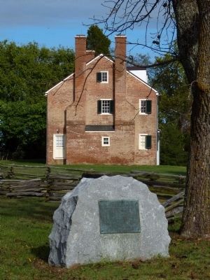
Other nearby markers. At least 8 other markers are within walking distance of this marker. African-Americans at Mount Calvert (within shouting distance of this marker); Explosive Scene (within shouting distance of this marker); The War of 1812 and the Chesapeake Flotilla (within shouting distance of this marker); Chesapeake Beach Railway (within shouting distance of this marker); Mount Calvert Federal Period Plantation House (within shouting distance of this marker); Billingsley's Point (about 300 feet away, measured in a direct line); Mount Calvert, Early Town (about 300 feet away); Woodland Indians (about 300 feet away). Touch for a list and map of all markers in Croom.
Credits. This page was last revised on June 16, 2016. It was originally submitted on September 1, 2013, by F. Robby of Baltimore, Maryland. This page has been viewed 1,152 times since then and 81 times this year. Photos: 1, 2, 3. submitted on September 1, 2013, by F. Robby of Baltimore, Maryland. 4, 5. submitted on October 15, 2013, by Allen C. Browne of Silver Spring, Maryland. 6. submitted on September 1, 2013, by F. Robby of Baltimore, Maryland.
