Croom in Prince George's County, Maryland — The American Northeast (Mid-Atlantic)
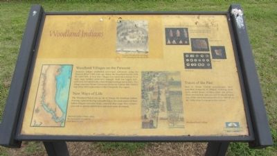
Woodland Indians
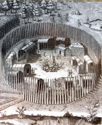
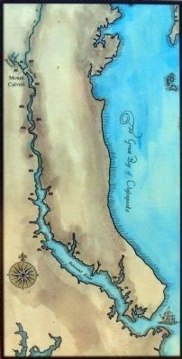
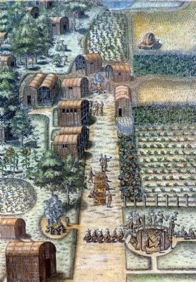
American Indians established rear-round settlements along the Patuxent River 3,000 years ago during the Woodland Period (1000 BC-1600 AD). At first, their villages were small and scattered. Over time, large fortified settlements emerged. Each was largely self-sufficient, but linked to the others through marriage and politics. Two village sites near Mount Calvert are shown on Captain John Smith's map of his 1608 explorations of the Chesapeake Bay region.
New Ways of Life
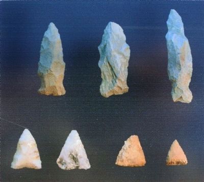
The Woodland Period was an era of change for American Indians. Farming replaced hunting and gathering as the main source of food; Indian villagers cultivated beans, corn and other crops. new technologies such as pottery and the bow and arrow were developed.
Traces of the Past
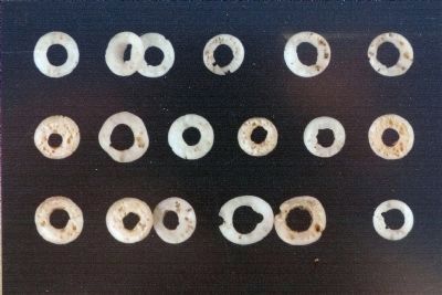
Here at Mount Calvert archaeologists have unearthed thousands of artifacts including stone tools, animal bones, smoking pipes and pottery. These artifacts bear witness to the Woodland Indian way of life which flourished here from 1000 BC to the 1600s when European settlers arrived.
Topics. This historical marker is listed in these topic lists: Native Americans • Settlements & Settlers. A significant historical year for this entry is 1608.
Location. 38° 47.076′ N, 76° 42.99′ W. Marker is in Croom, Maryland, in Prince George's County. Marker is on Mount Calvert Road, 0.3 miles east of McClure Road, on the right. Marker is in the Mount Calvert Historical and Archaeological Park. Touch for map. Marker is in this post office area: Upper Marlboro MD 20772, United States of America. Touch for directions.
Other nearby markers. At least 8 other markers are within walking distance of this marker. Mount Calvert, Early Town (here, next to this marker); African-Americans at Mount Calvert (about 300 feet away, measured in a direct line); Mount Calvert Manor (about 300 feet away); Chesapeake Beach Railway (about 400 feet away); The War of 1812 and the Chesapeake Flotilla (about 400 feet away); Explosive Scene (about 400 feet away); Mount Calvert Historical and Archaeological Park (about 400 feet away); First Americans at Mount Calvert (about 400 feet away). Touch for a list and map of all markers in Croom.
Credits. This page was last revised on June 16, 2016. It was originally submitted on September 1, 2013, by F. Robby of Baltimore, Maryland. This page has been viewed 677 times since then and 20 times this year. Photos: 1, 2. submitted on September 1, 2013, by F. Robby of Baltimore, Maryland. 3, 4, 5, 6, 7, 8. submitted on March 2, 2015, by Allen C. Browne of Silver Spring, Maryland.
