Niles in Berrien County, Michigan — The American Midwest (Great Lakes)
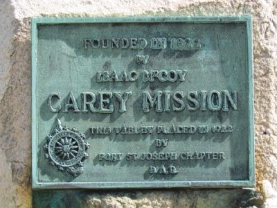
Carey Mission
by
Isaac McCoy
Carey Mission
This tablet placed in 1922
by
Fort St. Joseph Chapter
D.A.R.
Erected 1922 by Daughters of the American Revolution, St. Joseph Chapter.
Topics and series. This historical marker is listed in these topic lists: Churches & Religion • Native Americans • Settlements & Settlers. In addition, it is included in the Daughters of the American Revolution series list. A significant historical year for this entry is 1822.
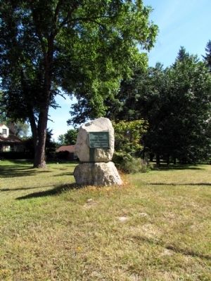
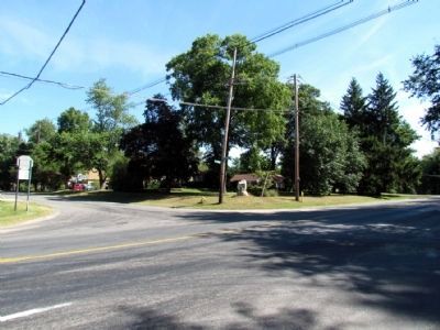
Location. 41° 49.65′ N, 86° 16.982′ W. Marker is in Niles, Michigan, in Berrien County. Marker is at the intersection of Niles Buchanan Road and Philip Road, on the right when traveling west on Niles Buchanan Road. Touch for map. Marker is in this post office area: Niles MI 49120, United States of America. Touch for directions.
Other nearby markers. At least 8 other markers are within 2 miles of this marker, measured as the crow flies. Saint Mary’s (approx. one mile away); Niles Veterans Memorial (approx. 1.2 miles away); Parrott Civil War Cannon (approx. 1.2 miles away); PA-WA-TING (approx. 1.3 miles away); John B. Reddick Building (approx. 1.3 miles away); Niles - A Transportation Center (approx. 1.3 miles away); Wesley United Methodist Church (approx. 1.4 miles away); Trinity Church (approx. 1˝ miles away). Touch for a list and map of all markers in Niles.
Also see . . . Carey Mission - Wikipedia entry. (Submitted on September 7, 2013.)
Credits. This page was last revised on June 16, 2016. It was originally submitted on September 7, 2013, by Duane Hall of Abilene, Texas. This page has been viewed 723 times since then and 28 times this year. Photos: 1, 2, 3. submitted on September 7, 2013, by Duane Hall of Abilene, Texas.


