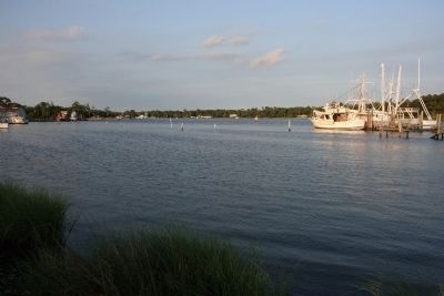
Bon Secour in Baldwin County, Alabama — The American South (East South Central)
Vicinity of Salt Works and Camp Anderson
“Salt Is Eminently Contraband”
— Civil War Trail Battle for Mobile Bay —
Inscription.
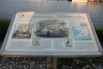
Both people and animals need salt to remain healthy. Before the Civil War the people of Alabama consumed about 50 pounds of salt per person per year, most of which came from England and the West Indies. One quarter of all the salt imported into the United States came into the country through the Port of New Orleans.
During the war, though salt was smuggled into Mobile by blockade runners from Havana, the blockade and transportation problems constricted the supply of salt throughout much of the South. The result was a serious shortage which amounted to a salt famine by 1862.
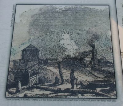
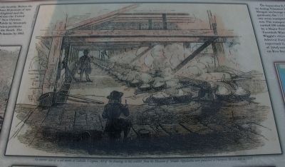
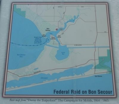
As in the rest of the South, this shortage inspired the growth of a salt industry along the Gulf Coast. A salt works developed near the mouth of the Bon Secour River. These works, which covered a square mile on both sides of the river, had 55 furnaces, containing a total of 990 pots. The works produced 1,980 bushels of salt a day or - assuming a six day work week, the standard at the Clark County, Alabama, salt works - 617,760 bushels a year: Bon Secour produced salt at the rate of 30,888,000 pounds per year. At $.67 a pound, the price of salt in Mobile during the war, the Bon Secour salt works probably produced over $20 million worth of salt a year or at least was capable of doing so.
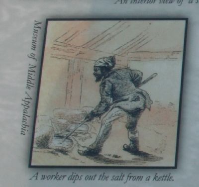
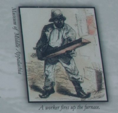
Wells dug in the marshes along the river were the heart of the works. These wells collected brine which, after standing a day, was boiled down in large kettles in the furnaces. Each well was twelve feet square and eight to ten feet deep. Lined with logs, the wells sloped inward toward the bottom of the well. Each furnace required five workers and other workers brought in wood to burn in the furnaces. Three hundred slaves provided the labor at Bon Secour.
Since salt was used to cure bacon and salt beef, both staples required for the provisioning of the Confederate Army, it is no exaggeration to say that salt was as important to the Confederate war effort as gunpowder. U.S. General William T. Sherman insisted that “salt is eminently contraband, because [of] its use in curing meats, without which armies cannot be subsisted.” Destruction of southern salt work and the structures associated with them became Federal policy.
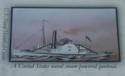
On September 8, 1864, a combined army-navy raiding party led by Acting Volunteer Lieutenant George Wiggin, USN, left the Fort Morgan anchorage at 7:00 a.m. Wiggin commanded three naval gunboats, the USS Tritonia, the USS Rodolph, and the USS Stockdale and one army transport, the steamer Planter, which had two barges in tow. The transport and barges carried 250 soldiers commanded by Major Pettibone of the Twentieth Wisconsin Volunteers. Wiggin’s objective was, as Admiral David
Farragut expressed it, “the destruction of [the] extensive salt works on Bon Secour Bay.”
Wiggin anchored off Salt House Point, one mile above Bon Secour Bar at 10:30 a.m. The raiders then went ashore and attacked the salt works. Over the next two days, they broke 55 furnaces and 990 pots, cut the pumps, tore up the brick work, and dismantled 20 buildings. Two of the works, estimated to have cost $60,000 and $50,000 respectively, were so well built they had to be blown up. The raiders also destroyed Camp Anderson, a permanent Confederate base one and a quarter mile away. The soldiers loaded about 30,000 board feet of lumber into the barges. Anything that could not be carried away was burned.
Erected by Mobile Bay Convention and Visitors Bureau. (Marker Number Stop 3.)
Topics. This historical marker is listed in this topic list: War, US Civil. A significant historical date for this entry is September 8, 1864.
Location. 30° 18.091′ N, 87° 44.241′ W. Marker is in Bon Secour, Alabama, in Baldwin County. Marker is on River Road, 0.2 miles west of Bon Secour Highway, on the left when traveling west. Touch for map. Marker is at or near this postal address: 16780 River Road, Bon Secour AL 36511, United States of America. Touch for directions.
Other nearby markers. At least 8 other markers are within 8 miles of this marker, measured as the crow flies. The Charles Swift Family / Swift Coles Historic Home
(approx. 0.9 miles away); Camp Withers (approx. 3.6 miles away); Gulf Shores Community (approx. 4.7 miles away); Indian Village Achuse (approx. 5.8 miles away); Magnolia Springs, Alabama (approx. 7.2 miles away); The Springs (approx. 7.2 miles away); Romar Beach (approx. 7.4 miles away); Cobb's Light (approx. 8 miles away).
Also see . . . Civil War Trail Battle For Mobile Bay. (Submitted on September 8, 2013, by Timothy Carr of Birmingham, Alabama.)
Credits. This page was last revised on June 16, 2016. It was originally submitted on September 8, 2013, by Timothy Carr of Birmingham, Alabama. This page has been viewed 2,930 times since then and 113 times this year. Photos: 1, 2, 3, 4, 5, 6, 7, 8, 9. submitted on September 8, 2013, by Timothy Carr of Birmingham, Alabama. • Bernard Fisher was the editor who published this page.
