Portland in Sumner County, Tennessee — The American South (East South Central)
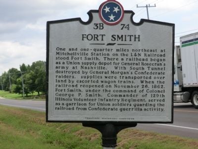
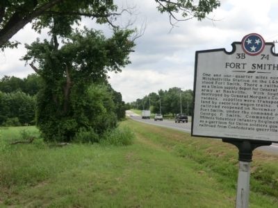
Fort Smith
Erected by Tennessee Historical Commission. (Marker Number 3B 74.)
Topics and series. This historical marker is listed in these topic lists: Forts and Castles • Railroads & Streetcars • War, US Civil. In addition, it is included in the Tennessee Historical Commission series list. A significant historical month for this entry is November 1875.
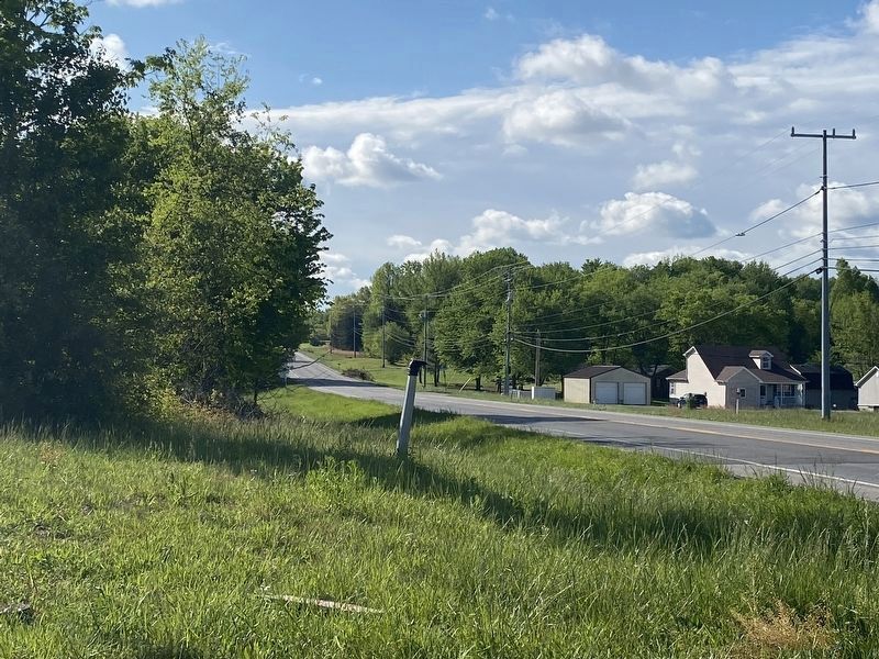
Location. Marker has been reported missing. It was located near 36° 36.952′ N, 86° 32.893′ W. Marker was in Portland, Tennessee, in Sumner County. Marker was at the intersection of North Broadway (Tennessee Route 109) and Woods Road, on the right when traveling north on North Broadway . Touch for map. Marker was in this post office area: Portland TN 37148, United States of America. Touch for directions.
Other nearby markers. At least 8 other markers are within 3 miles of this location, measured as the crow flies. Camp Trousdale (within shouting distance of this marker); Duval-Groves House (approx. 1.4 miles away); Triangular Jog (approx. 1½ miles away in Kentucky); Cold Spring School (approx. 1.8 miles away); AmVets Memorial (approx. 2 miles away); Civil War in Tennessee (approx. 2 miles away); Replica of Stone #38 (approx. 2.2 miles away in Kentucky); Oklahoma City Bombing Memorial (approx. 2.2 miles away in Kentucky). Touch for a list and map of all markers in Portland.
Credits. This page was last revised on April 23, 2023. It was originally submitted on September 11, 2013, by Don Morfe of Baltimore, Maryland. This page has been viewed 998 times since then and 62 times this year. Last updated on April 23, 2023, by Darren Jefferson Clay of Duluth, Georgia. Photos: 1, 2. submitted on September 11, 2013, by Don Morfe of Baltimore, Maryland. 3. submitted on April 23, 2023, by Darren Jefferson Clay of Duluth, Georgia. • J. Makali Bruton was the editor who published this page.


