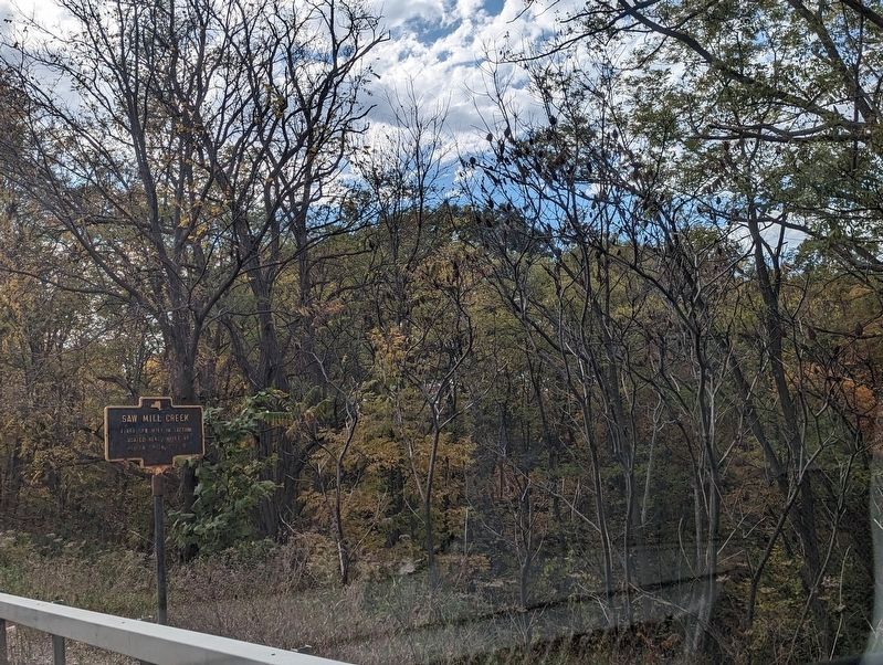
Near Burdett in Schuyler County, New York — The American Northeast (Mid-Atlantic)
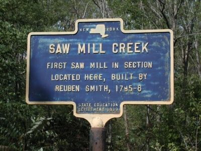
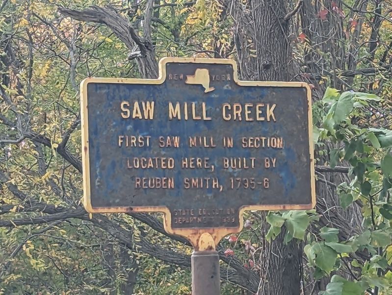
Saw Mill Creek
Erected 1939 by State Education Department.
Topics. This historical marker is listed in these topic lists: Industry & Commerce • Settlements & Settlers.
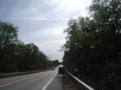
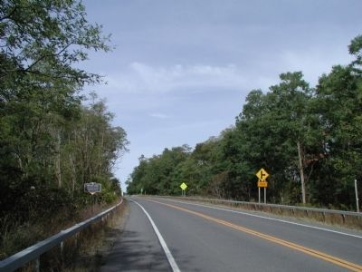
Location. 42° 25.096′ N, 76° 51.97′ W. Marker is near Burdett, New York, in Schuyler County. Marker is on New York State Route 414 just south of Carpenter Road, on the right when traveling south. Touch for map. Marker is in this post office area: Burdett NY 14818, United States of America. Touch for directions.
Other nearby markers. At least 8 other markers are within 3 miles of this marker, measured as the crow flies. Warehouse (within shouting distance of this marker); Woolen Mill (within shouting distance of this marker); Oldest House (approx. 0.9 miles away); Underground Railroad (approx. 2 miles away); Honoring Our Naval Veterans (approx. 2.4 miles away); The Present Watkins Glen Circuit (approx. 2.9 miles away); At Watkins Glen (approx. 2.9 miles away); The Original Watkins Glen Circuit (approx. 2.9 miles away). Touch for a list and map of all markers in Burdett.
Credits. This page was last revised on November 2, 2023. It was originally submitted on September 12, 2013, by Yugoboy of Rochester, New York. This page has been viewed 552 times since then and 25 times this year. Photos: 1. submitted on September 12, 2013, by Yugoboy of Rochester, New York. 2. submitted on October 24, 2023, by Mira Earls of Cortland, New York. 3, 4. submitted on September 12, 2013, by Yugoboy of Rochester, New York. 5. submitted on October 24, 2023, by Mira Earls of Cortland, New York. • Bill Pfingsten was the editor who published this page.
