Hector in Schuyler County, New York — The American Northeast (Mid-Atlantic)
William Wickham
Photographed by Yugoboy, October 13, 2012
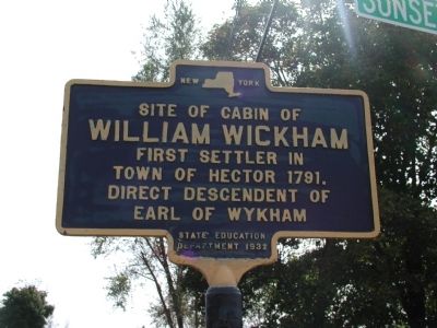
1. William Wickham Marker
William Wickham
First settler in
town of Hector 1791.
Direct descendant of
Earl of Wykham
Erected 1932 by State Education Department.
Topics. This historical marker is listed in this topic list: Settlements & Settlers. A significant historical year for this entry is 1791.
Location. 42° 28.499′ N, 76° 52.109′ W. Marker is in Hector, New York, in Schuyler County. It is at the intersection of New York State Route 414 and Sunset Shores on New York State Route 414. Touch for map. Marker is in this post office area: Hector NY 14841, United States of America. Touch for directions.

Regionally, this marker is in Upstate New York, specifically in Western New York, in the Finger Lakes, and in the Southern Tier. It is also in the American Northeast, in the Mid-Atlantic, in Appalachia, and specifically in Northern Appalachia. Globally, it is in North America, the Western Hemisphere, the Western World, and the Anglosphere. Historically, it finds itself in what was once the Haudenosaunee (Iroquois) Confederacy, New Netherland, and one of the original Thirteen Colonies.
Other nearby markers. At
this page online
Photographed by Yugoboy, October 13, 2012
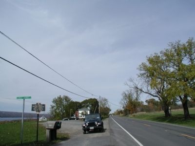
2. Southern Approach to William Wickham Marker
Photographed by Yugoboy, October 13, 2012
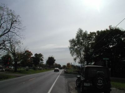
3. Northern Approach to William Wickham Marker
Photographed by Yugoboy, October 13, 2012
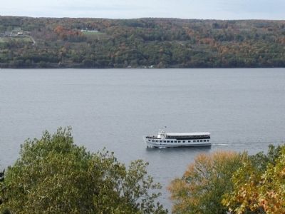
4. View of Seneca Lake from William Wickham Marker
Based on this view, you can see why Wickham might have chosen this spot to settle.
Credits. This page was last revised on November 4, 2016. It was originally submitted on September 12, 2013, by Yugoboy of Rochester, New York. This page has been viewed 1,235 times since then and 58 times this year. Photos: 1, 2, 3, 4. submitted on September 12, 2013, by Yugoboy of Rochester, New York. • Bill Pfingsten was the editor who published this page.
