Near Big Sur in Monterey County, California — The American West (Pacific Coastal)
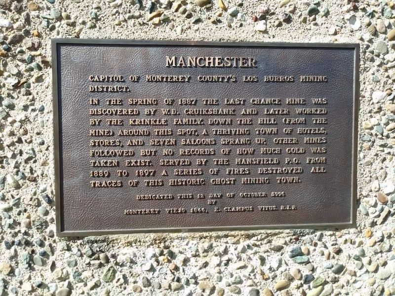
Manchester
In the spring of 1887 the Last Chance Mine was discovered by W.D. Cruikshank and later worked by the Krinkle family. Down the hill (from the mine) around this spot, a thriving town of hotels, stores, and seven saloons sprang up. Other mines followed but no records of how much gold was taken exist. Served by the Mansfield P.O. from 1889 to 1897 a series of fires destroyed all traces of this historic ghost mining town.
Monterey Viejo 1846 E. Clampus Vitus. R.I.P.
Erected 1991 by E Clampus Vitus, Monterey Viejo Chapter No. 1846.
Topics and series. This historical marker is listed in this topic list: Settlements & Settlers. In addition, it is included in the E Clampus Vitus series list. A significant historical month for this entry is October 1887.
Location. 35° 52.975′ N, 121° 23.669′ W. Marker is near Big Sur, California, in Monterey County. Marker can be reached from Las Padres National Forest Road 23S01. Touch for map. Marker is in this post office area: Big Sur CA 93920, United States of America. Touch for directions.
Other nearby markers. At least 3 other markers are within 13 miles of this marker, measured as the crow flies. First Marriage in California (approx. 12.2 miles away); De Anza Expedition 1775 - 1776 (approx. 12.2 miles away); The Hacienda (approx. 12.2 miles away).
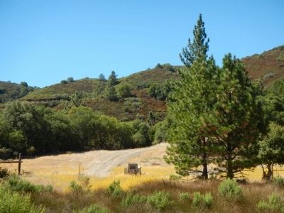
More about this marker. Take Los Burros (Willow Creek) Road to Las Padres National Forest Road 23S01 (unsigned) then continue toward Alder Camp. This marker is on private property in Las Padres National Forest. The GPS longitude and latitude are for a viewpoint overlooking the site of Manchester.

circa 2012
2. Manchester Marker
The now completely obliterated town of Manchester (sometimes referred to as “The Lost City of the Santa Lucias”) was located just S of the Last Chance Mine, 22 m SW of Jolon and 3 m from the ocean in NWQ Sec.1 T24S R5E. Around 1887 it had a population estimated by different authorities as between 125 and 500 people, with a hotel, two general stores, barber shop, blacksmith shop, a one-room schoolhouse, mess halls, bunkhouses, a number of cabins, a small cemetery, a dance hall, and several saloons.... - Monterey County Place Names, by Donald Thomas Clark, 1991.
Credits. This page was last revised on January 29, 2019. It was originally submitted on September 13, 2013. This page has been viewed 1,607 times since then and 72 times this year. Photos: 1. submitted on January 29, 2019, by Frank Gunshow Sanchez of Hollister, California. 2. submitted on September 13, 2013. • Andrew Ruppenstein was the editor who published this page.
