Near Jenner in Sonoma County, California — The American West (Pacific Coastal)
Fort Ross
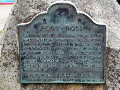
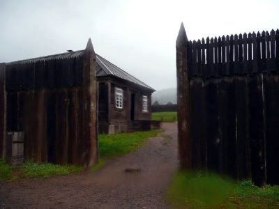
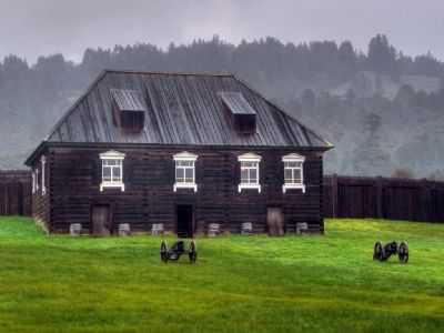
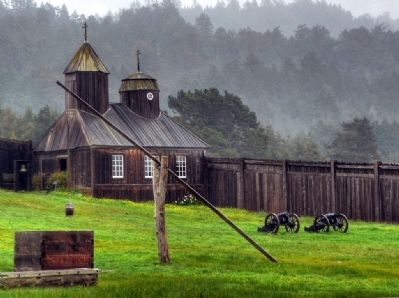
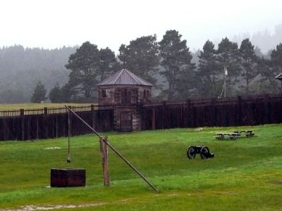
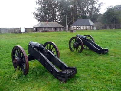
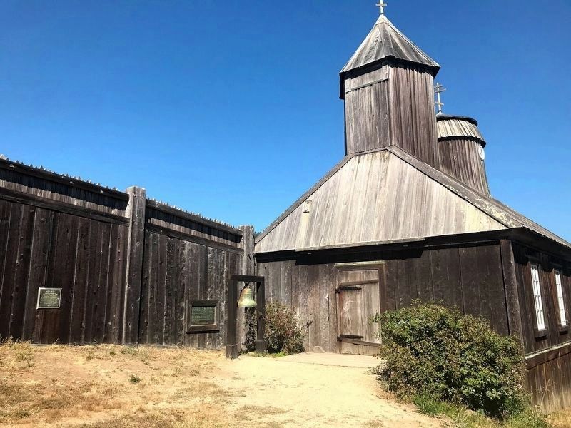
Founded 1812 by Russians from Sitka. When Russians withdrew to Alaska, 1841, Captain Sutter bought the improvements and supplies. Acquired by State in 1906 and remaining buildings restored - Greek Orthodox Chapel, Commandants Quarters and Stockade. Now a State historical monument.
Historical Landmark No. 5
Department of Public Works - Division of Highways
Erected by Department of Public Works - Division of Highways. (Marker Number 5.)
Topics and series. This historical marker is listed in these topic lists: Forts and Castles • Notable Buildings • Notable Places • Settlements & Settlers. In addition, it is included in the California Historical Landmarks series list. A significant historical year for this entry is 1812.
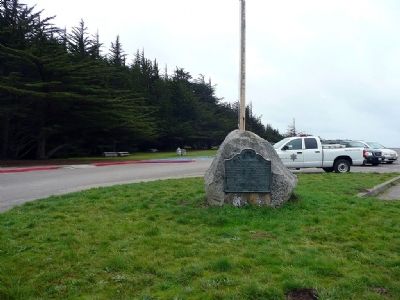
Location. 38° 30.983′ N, 123° 14.783′ W. Marker is near Jenner, California, in Sonoma County. Marker can be reached from Highway 1 near Fort Ross Road, on the left when traveling north. Touch for map. Marker is in this post office area: Jenner CA 95450, United States of America. Touch for directions.
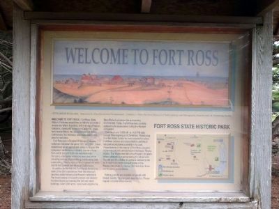
Other nearby markers. At least 8 other markers are within walking distance of this marker. Welcome to Fort Ross (within shouting distance of this marker); California's First Windmill (about 500 feet away, measured in a direct line); re-creating the Fort Ross Windmill (about 600 feet away); The Call Family Residence (approx. 0.2 miles away); The Russian Village Site - Sloboda (approx. 0.2 miles away); The Native Alaskan Village (approx. 0.2 miles away); Sandy Beach Cove (approx. 0.2 miles away); Fort Ross Chapel (approx. ¼ mile away). Touch for a list and map of all markers in Jenner.
Also see . . . Fort Ross State Historic Park. California State Parks website entry (Submitted on February 22, 2009, by Karen Key of Sacramento, California.)
Photographed By Michael Hicklin, September 14, 2013
14. Fort Ross Chapel Marker
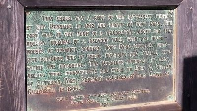
This plaque is mounted on the wall of the fort, to the left of the chapel and behind the stand that holds the church bell. It reads:
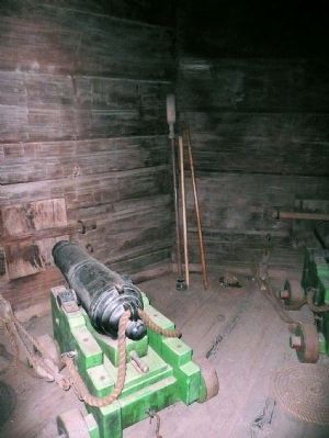
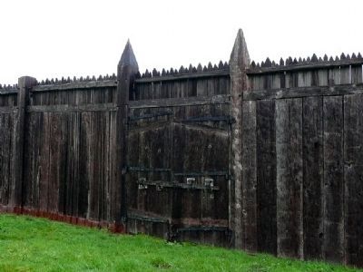
This chapel was a part of the settlement founded by the Russians in 1812 and known as Fort Ross. The fort was in the form of a quadrangle, about 300 feet square, inclosed by a redwood wall, with two blockhouses at opposite corners. Fort Ross contained Fifty-nine buildings, nine of which, including this chapel, were within the inclosure. The Russians withdrew in 1841, selling their improvements and stock to John A. Sutter of Sutter's Fort. Property acquired by the State of California in 1906.
Tablet placed by Historic Landmarks Committee,
Native Sons of the Golden West
1928
This chapel was a part of the settlement founded by the Russians in 1812 and known as Fort Ross. The fort was in the form of a quadrangle, about 300 feet square, inclosed by a redwood wall, with two blockhouses at opposite corners. Fort Ross contained Fifty-nine buildings, nine of which, including this chapel, were within the inclosure. The Russians withdrew in 1841, selling their improvements and stock to John A. Sutter of Sutter's Fort. Property acquired by the State of California in 1906.
Native Sons of the Golden West
1928
Credits. This page was last revised on November 14, 2021. It was originally submitted on February 22, 2009, by Karen Key of Sacramento, California. This page has been viewed 1,590 times since then and 13 times this year. Last updated on September 24, 2013, by James King of San Miguel, California. Photos: 1. submitted on February 22, 2009, by Karen Key of Sacramento, California. 2. submitted on July 14, 2020, by Diane Phillips of Pittsburg, California. 3, 4, 5, 6, 7, 8, 9, 10, 11, 12. submitted on February 22, 2009, by Karen Key of Sacramento, California. 13. submitted on July 14, 2020, by Diane Phillips of Pittsburg, California. 14. submitted on September 24, 2013, by James King of San Miguel, California. • Syd Whittle was the editor who published this page.
