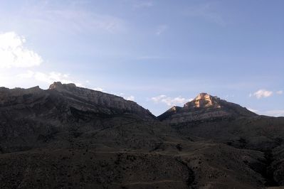
Near Shell in Big Horn County, Wyoming — The American West (Mountains)
Copman's Tomb
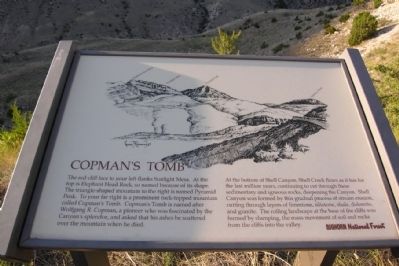
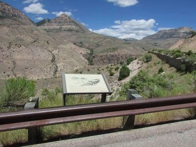
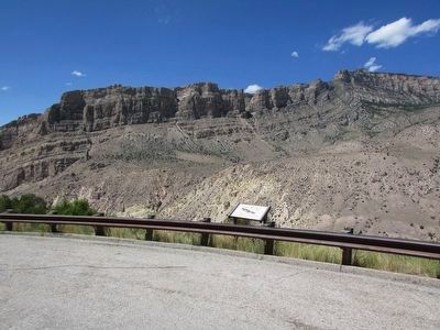
At the bottom of Shell Canyon, Shell Creek flows as it has for the last million years, continuing to cut through these sedimentary and igneous rocks, deepening the Canyon. Shell Canyon was formed by this gradual process of stream erosion, cutting through layers of limestone, siltstone, shale, dolomite, and granite. The rolling landscape at the base of the cliffs was formed by slumping, the mass movement of soil and rocks from the cliffs into the valley.
Erected by Bighorn National Forest.
Topics. This historical marker is listed in this topic list: Natural Features.
Location. 44° 34.815′ N, 107° 40.423′ W. Marker is near Shell, Wyoming, in Big Horn County. Marker is on U.S. 14, on the left when traveling east. Marker is located along the Bighorn Scenic Byway approximately seven miles east of Shell. Touch for map. Marker is in this post office area: Shell WY 82441, United States of America. Touch for directions.
Other nearby markers. At least 8 other markers are within 3 miles of this marker, measured as the crow flies. Beef Trail (here, next to this marker); Bighorn Basin – Its History (approx. 1.1 miles away); Wildfire! (approx. 1˝ miles away); Carving a Course (approx. 2.9 miles away); Lifeblood of the West (approx. 2.9 miles away); Oasis in the Desert (approx. 2.9 miles away); Hummingbirds (approx. 2.9 miles away); Shaping a Canyon (approx. 2.9 miles away). Touch for a list and map of all markers in Shell.
More about this marker. The illustrative drawing on the marker was done by Connie J. Robinson in 1989.
Credits. This page was last revised on June 16, 2016. It was originally submitted on September 29, 2013, by Duane Hall of Abilene, Texas. This page has been viewed 1,233 times since then and 65 times this year. Photos: 1. submitted on September 29, 2013, by Duane Hall of Abilene, Texas. 2, 3. submitted on September 4, 2015, by Bill Coughlin of Woodland Park, New Jersey. 4, 5. submitted on September 29, 2013, by Duane Hall of Abilene, Texas.
