Lookout Mountain in Hamilton County, Tennessee — The American South (East South Central)
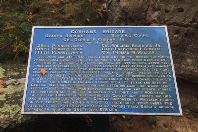
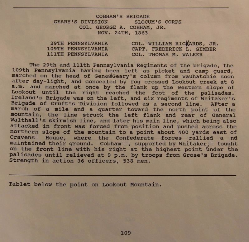
Cobham's Brigade
Geary's Division
— Slocum's Corps —
Geary's Division - Slocum's Corps.
Colonel George A. Cogham, Jr.
Nov. 24, 1863.
29th Pennsylvania - Colonel William Rickards, Jr.
109th Pennsylvania - Captain Frederick L. Gimber.
111th Pennsylvania - Colonel Thomas M. Walker.
The 29th and 111th Pennsylvania regiments of the Brigade, the 109th Pennsylvania having been left as picket and camp guard, marched as the head of General Geary's column from Wauhatchie soon after daylight, and concealed by fog crossed Lookout Creek at 8 A.M. and marched at once by the flank up the western slope of Lookout , until the right reached the foot of the palisades. Ireland's Brigade was on the left, and six regiments of Whitaker's Brigade of Cruft's Division followed as a second line. After a march of a mile and a quarter toward the north point of the mountain, the line struck the left flank and rear of General Walthall's skirmish line, and later his main line, which being also attacked in front was forced from position and pushed across the northern slope of the mountain to a point about 400 yards east of Cravens House, where the Confederate forces rallied and maintained their ground. Cobham, supported by Whitaker, fought on the front line with his right at the highest point under the palisades until relieved at 9 P.M. by troops from Grose's Brigade. Strength in action 36 officers, 538 men.
Erected 1890 by the Chickamauga-Chattanooga National Battlefield Commission. (Marker Number MT-109.)
Topics and series. This historical marker is listed in this topic list: War, US Civil. In addition, it is included in the Chickamauga and Chattanooga National Military Park, Lookout Mountain, and the Chickamauga and Chattanooga National Military Park: November 24, 1863 series lists. A significant historical date for this entry is October 24, 1863.
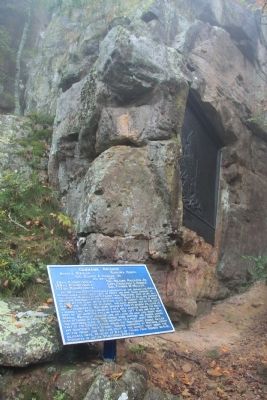
Location. 35° 0.759′ N, 85° 20.632′ W. Marker is in Lookout Mountain, Tennessee, in Hamilton County. Marker can be reached from Point Park Road north of East Brow Road. This historic marker is located just below Point Park, immediately below the Ochs Museum observation deck, on a trail that runs along the base of the Lookout Mountain palisades. Touch for map. Marker is in this post office area: Lookout Mountain TN 37350, United States of America. Touch for directions.
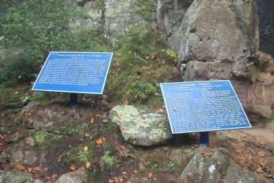
Other nearby markers. At least 8 other markers are within walking distance of this marker. Tennessee River and Moccasin Bend (here, next to this marker); Lookout Valley and Browns Ferry (here, next to this marker); 111th Pennsylvania Infantry (a few steps from this marker); 29th Pennsylvania Infantry (a few steps from this marker); Battle Above the Clouds
(a few steps from this marker); Union Occupation of the Summit (a few steps from this marker); Lookout Mountain Trails (a few steps from this marker); Chattanooga and Missionary Ridge (a few steps from this marker). Touch for a list and map of all markers in Lookout Mountain.
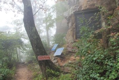
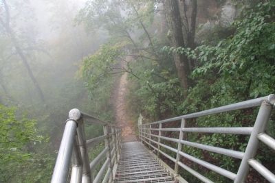
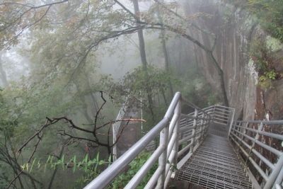
More about this marker. This historical marker is located between Point Park on the top of Lookout Mountain and the Cravens House about midway on the slopes of Lookout Mountain. To get to this historical marker requires walking from either Point Park, down a series of aluminum steps, and the marker is very near the base of the steps, or walking up a trail, up the slopes of Lookout Mountain, from the Cravens House.
Because I am in my sixties, and have two bad knees, I chose to use the steps, walking down and then back up from Point Park.
Interestingly (I think), the pictures that I took and posted of this particular historical marker were taken on a foggy day, a day with similar conditions to what existed when the battle was originally fought, above the clouds.
Related markers. Click here for a list of markers that are related to this marker. Use this link to see the
Regimental markers, tablets, and/or monuments for this Brigade.
Credits. This page was last revised on July 11, 2019. It was originally submitted on October 2, 2013, by Dale K. Benington of Toledo, Ohio. This page has been viewed 637 times since then and 21 times this year. Photos: 1, 2, 3, 4, 5, 6. submitted on October 2, 2013, by Dale K. Benington of Toledo, Ohio. 7. submitted on July 11, 2019, by Dale K. Benington of Toledo, Ohio.
