Nashville in Davidson County, Tennessee — The American South (East South Central)
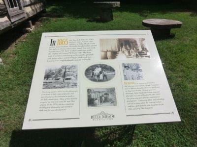
In 1865
[Belle Meade Farm Freedom]
— Belle Meade Plantation —
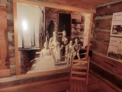
(Inscription under the photo in the lower left) The living quarters shown in this photograph were home to both enslaved families and later freedmen who continued to work on the Belle Meade farm. Many of these families occupied the structures until the mid 20th century. In the 1970s, the last remaining building was dismantled and moved to make way for new development.
(Inscription under the photo in the lower right) Our mission is to preserve and interpret the historical value of Belle Meade Plantation and to educate the public about its significance in American History. Through generous donations, Belle Meade Plantation acquired this half (1/2) acre of land in October 2001, thus preserving part of history nearly lost to development. Continuing efforts and archeology will tell us more about the material culture and lives of the families who lived here in the 19th and early 20th Centuries.
Topics. This historical marker is listed in these topic lists: African Americans • Agriculture • Settlements & Settlers. A significant historical month for this entry is October 2001.
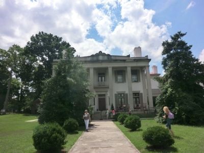
Location. This marker has been replaced by another marker nearby. It was located near 36° 6.384′ N, 86° 51.864′ W. Marker was in Nashville, Tennessee, in Davidson County. The marker is on the grounds of the Belle Meade Plantation. Touch for map. Marker was at or near this postal address: 5025 Harding Road (Entrance to the Plantation), Nashville TN 37205, United States of America. Touch for directions.
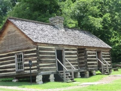
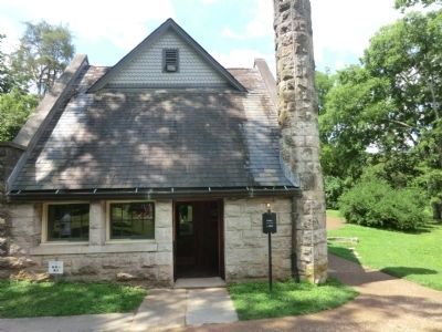
Other nearby markers. At least 8 other markers are within walking distance of this location. Slave Cabin (here, next to this marker); Dairy (a few steps from this marker); Belle Meade Bourbon (within shouting distance of this marker); Ice House (within shouting distance of this marker); Belle Meade Plantation (within shouting distance of this marker); a different marker also named Belle Meade Plantation (within shouting distance of this marker); War on the Home Front (within shouting distance of this marker); Slave Burials (within shouting distance of this marker). Touch for a list and map of all markers in Nashville.
Related marker. Click here for another marker that is related to this marker. This marker has been replaced by the linked marker.
Credits. This page was last revised on October 20, 2020. It was originally submitted on October 3, 2013, by Don Morfe of Baltimore, Maryland. This page has been viewed 731 times since then and 50 times this year. Photos: 1, 2, 3, 4, 5. submitted on October 3, 2013, by Don Morfe of Baltimore, Maryland. • Al Wolf was the editor who published this page.
