Near Archbold in Fulton County, Ohio — The American Midwest (Great Lakes)
Erie J. Sauder
Photographed by Duane Hall, October 1, 2013
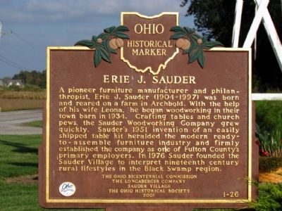
1. Erie J. Sauder Marker
Erected 2001 by The Ohio Bicentennial Commission, the Longaberger Company, Sauder Village, and the Ohio Historical Society. (Marker Number 1-26.)
Topics and series. This historical marker is listed in this topic list: Industry & Commerce. In addition, it is included in the Ohio Historical Society / The Ohio History Connection series list. A significant historical year for this entry is 1934.
Location. 41° 32.592′ N, 84° 18.012′ W. Marker is near Archbold, Ohio, in Fulton County. It is on Ohio Route 2 0.4 miles east of N. Defiance Street
this page online

Regionally, this marker is in Ohio’s Black Swamp and in the Till Plains. It is also in the American Midwest and in the Corn Belt. Globally, it is in North America, the Western Hemisphere, the Western World, and the Anglosphere. Historically, it finds itself in what was once the Haudenosaunee (Iroquois) Confederacy, the territory of the Mississippian Culture, and the Northwest Territory.
Other nearby markers. At least 8 other markers are within walking distance of this marker: This Log House (about 400 feet away, measured in a direct line); Woodcarvers Shop (about 400 feet away); District 16 Schoolhouse (about 600 feet away); Bethany United Brethren Church Bell (about 700 feet away); This Hungarian Migrant Worker's Wagon (about 700 feet away); Community Jail (approx. 0.2 miles away); Caboose (approx. 0.2 miles away); Peter Stucky's Wagon Shop (approx. 0.2 miles away). Touch for a list and map of all markers in Archbold.
Also see . . . Historic Sauder Village.
Photographed by Duane Hall, October 1, 2013
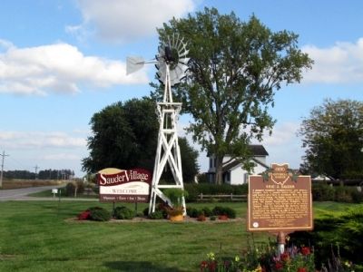
2. Erie J. Sauder Marker at Sauder Village
Photographed by Duane Hall, October 1, 2013
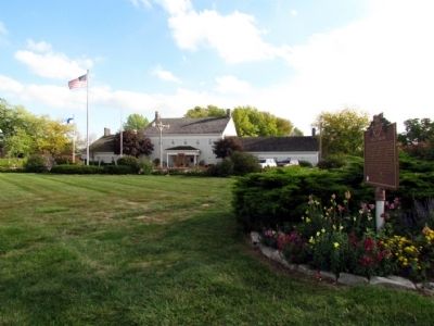
3. Sauder Village Welcome Center
Photographed by Craig Doda, October 17, 2020
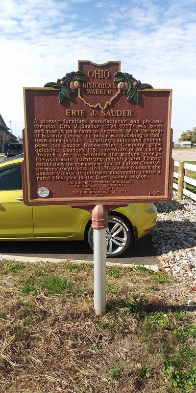
4. Erie J. Sauder Marker
They have expanded the parking lot and moved the marker a few feet north towards the road.
Credits. This page was last revised on January 29, 2021. It was originally submitted on October 4, 2013, by Duane Hall of Abilene, Texas. This page has been viewed 978 times since then and 38 times this year. Photos: 1, 2, 3. submitted on October 4, 2013, by Duane Hall of Abilene, Texas. 4. submitted on January 29, 2021, by Craig Doda of Napoleon, Ohio.
