Paulding in Paulding County, Ohio — The American Midwest (Great Lakes)
Paulding County
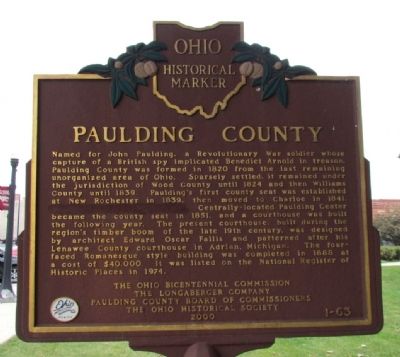
Photographed by Duane Hall, October 1, 2013
1. Paulding County Marker
Erected 2000 by Ohio Bicentennial Commission,
this page online
Topics and series. This historical marker is listed in this topic list: Settlements & Settlers. In addition, it is included in the Ohio Historical Society / The Ohio History Connection series list. A significant historical year for this entry is 1820.
Location. 41° 8.253′ N, 84° 34.834′ W. Marker is in Paulding, Ohio, in Paulding County. It is at the intersection of N. Williams Street (U.S. 127) and E. Perry Street, on the right when traveling north on N. Williams Street. Marker is located at the southwest corner of the County Courthouse lawn. Touch for map. Marker is at or near this postal address: 115 N Williams Street, Paulding OH 45879, United States of America. Touch for directions.

Regionally, this marker is in Ohio’s Black Swamp and in the Till Plains. It is also in the American Midwest and in the Corn
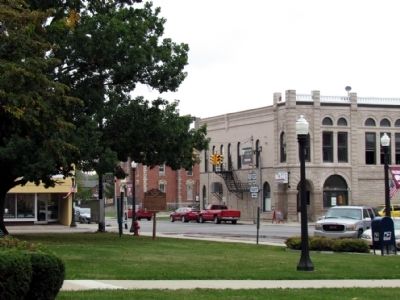
Photographed by Duane Hall, October 1, 2013
2. Paulding County Marker
Other nearby markers. At least 8 other markers are within 7 miles of this marker, measured as the crow flies: Swamp White Oak (Quercus bicolor) (a few steps from this marker); Paulding County Veterans Memorial (within shouting distance of this marker); Herb Monroe and His Wife Millie (about 500 feet away, measured in a direct line); Paulding County Carnegie Library (about 600 feet away); The Last Existing Well (approx. 0.4 miles away); Paulding (approx. 1.4 miles away); New Rochester (approx. 6.6 miles away); a different marker also named New Rochester (approx. 6.6 miles away). Touch for a list and map of all markers in Paulding.
Another marker is no longer nearby.
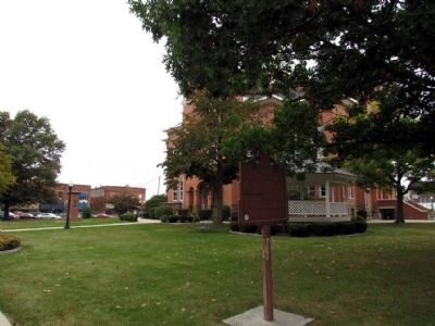
Photographed by Duane Hall, October 1, 2013
3. Paulding County Marker on Courthouse Lawn
More about this marker. This marker has had a sentence blanked out on its eight line. The now missing sentence read, “Neither village exists today.” If you know when and why this sentence was removed, please let us know by clicking on the blue Add Commentary link at the top or bottom of this page.
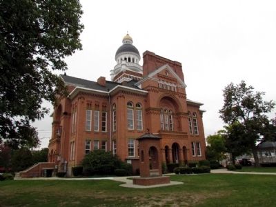
Photographed by Duane Hall, October 1, 2013
4. Paulding County Courthouse
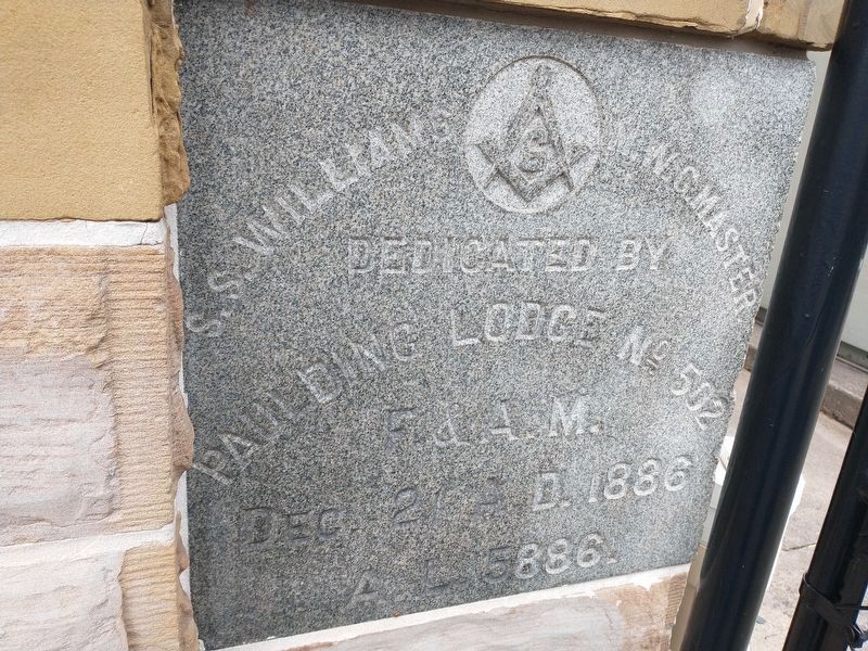
Photographed by Craig Doda, November 9, 2021
5. Paulding County Courthouse Cornerstone (side 1)
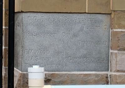
Photographed by Craig Doda, November 9, 2021
6. Paulding County Courthouse Cornerstone (side 2)
Credits. This page was last revised on June 13, 2025. It was originally submitted on October 4, 2013, by Duane Hall of Abilene, Texas. This page has been viewed 1,003 times since then and 43 times this year. Photos: 1, 2, 3, 4. submitted on October 4, 2013, by Duane Hall of Abilene, Texas. 5, 6. submitted on November 9, 2021, by Craig Doda of Napoleon, Ohio.
