Redwood Falls in Redwood County, Minnesota — The American Midwest (Upper Plains)
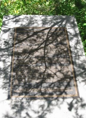
Geology of the Redwood Falls Region
This metamorphism occurred about 3.6 billion years ago, probably during the creation of an early continental mass. Small pieces of continental crust, such as that containing the original rock of this gneiss, collided and stuck together to form protocontinents. As the continental pieces collided, their margins were compressed, producing the heat and pressure that caused the metamorphism. This process operated for billions of years, building larger continental masses like those we see today.
Technically, this rock is named Morton Gneiss, after the village of Morton where it is well exposed. Commercially, it is known as Rainbow or Tapestry granite. Gneisses have made popular building and monument stones throughout the world.
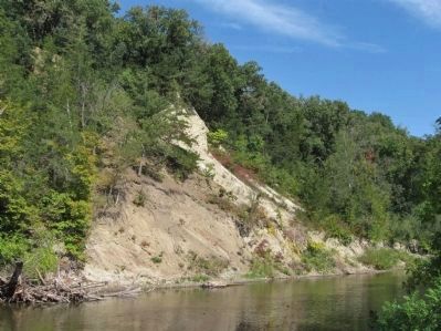
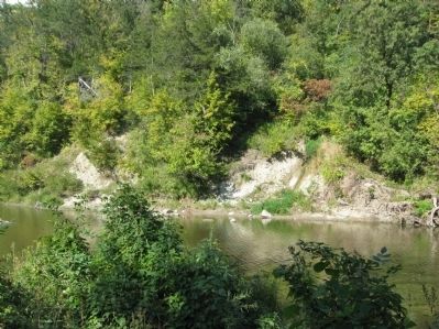
North of this tablet, across the Redwood River, a bank of residual clay 23 meters high is all that remains of some gneiss that completely decomposed. This type of deep and intense decomposition is characteristic of weathering in tropical climates. Such a climate existed here about 100 million years ago when the North American continent, during its very slow drift across the surface of the earth, was located at subtropical latitudes (30°–60° N). Continental drift is part of the dynamic global process of plate tectonics and has probably operated throughout most of earth's history.
Erected by the Geological Society of Minnesota in partnership with the Minnesota Department of Transportation and the Minnesota Geological Survey 1998
Erected 1998 by the Geological Society of Minnesota in partnership with the Minnesota Department of Transportation and the Minnesota Geological Survey.
Topics. This historical marker is listed in this topic list: Natural Features. A significant historical year for this entry is 1998.
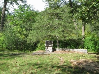
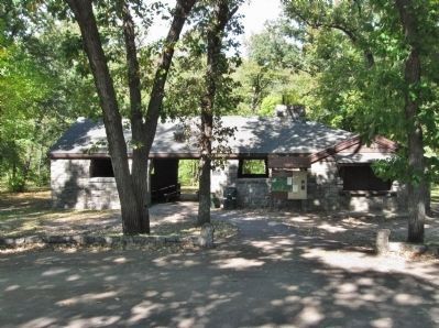
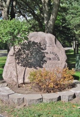
Location. 44° 33.194′ N, 95° 7.464′ W. Marker is in Redwood Falls, Minnesota, in Redwood County. Marker can be reached from East Oak Street, 0.8 miles west of North Lincoln Street. Marker is in a wooded area along the Redwood River at the Paul A. Asleson Lower Park Shelter Area in Alexander Ramsey Park. Touch for map. Marker is at or near this postal address: 99 East Oak Street, Redwood Falls MN 56283, United States of America. Touch for directions.
Other nearby markers. At least 8 other markers are within 7 miles of this marker, measured as the crow flies. Old Military Road (approx. 0.9 miles away); Clayton H. Pickett / The General Sherman (approx. 0.9 miles away); Civil War Monument (approx. 1.3 miles away); Wowinape or Thomas Wakeman (approx. 1.3 miles away); Richard Sears Memorial Park (approx. 1.6 miles away); Middle Creek Brave Settler Monument (approx. 5.9 miles away); Only Two Survived (approx. 6.4 miles away); Schwandt State Monument (approx. 6.4 miles away). Touch for a list and map of all markers in Redwood Falls.
Also see . . .
1. Alexander Ramsey Park. "At 219 acres in size, Alexander Ramsey Park is the largest municipal park in the State of Minnesota. Termed as the “Little Yellowstone of Minnesota”, the park is enhanced by 1930′s Civilian Conservation Corps shelters and bridges and picturesque Ramsey Falls." (Submitted on October 10, 2013.)
2. Redwood Falls, Minnesota. Wikipedia entry. "The city of Redwood Falls took over Alexander Ramsey Park in 1958 from the state of Minnesota. Ramsey had been one of the least used and least developed state parks but is now the largest municipal park in Minnesota." (Submitted on October 10, 2013.)
Credits. This page was last revised on June 16, 2016. It was originally submitted on October 10, 2013, by Keith L of Wisconsin Rapids, Wisconsin. This page has been viewed 682 times since then and 20 times this year. Photos: 1, 2, 3, 4, 5, 6, 7, 8. submitted on October 10, 2013, by Keith L of Wisconsin Rapids, Wisconsin.
