Pleasant Hill in Cumberland County, Tennessee — The American South (East South Central)
Pleasant Hill
Photographed by Don Morfe, July 26, 2013
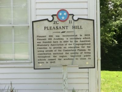
1. Pleasant Hill Marker
Topics and series. This historical marker is listed in this topic list: Education. In addition, it is included in the Tennessee Historical Commission series list. A significant historical year for this entry is 1903.
Location. 35° 58.583′ N, 85° 11.65′ W. Marker is in Pleasant Hill, Tennessee, in Cumberland County. It is on East Main Street west of Maryland Road, on the left when traveling west. Touch for map. Marker is in this post office area: Pleasant Hill TN 38578, United States of America. Touch for directions.

Regionally, this marker is in the Cumberland Plateau. It is also in the American South, specifically in the Upper South, in Appalachia, and specifically in Southern Appalachia. Globally, it is in
this page online
Other nearby markers. At least 8 other markers are within 9 miles of this marker, measured as the crow flies: Affair at Cumberland Mountain (a few steps from this marker); The Journey of the Bell (within shouting distance of this marker); Camp Crossville (approx. 5.8 miles away); Earl Webb (approx. 6.7 miles away); France Cemetery (approx. 8.7 miles away); Cap't Champ Ferguson (approx. 8.7 miles away); “Red Fox” Flynn (approx. 8.8 miles away); Cumberland Mountain School (approx. 9 miles away). Touch for a list and map of all markers in Pleasant Hill.
Also see . . . Pleasant Hill Historical Society of the Cumberlands::. (Submitted on October 12, 2013, by Al Wolf of Veedersburg, Indiana.)
Photographed by Don Morfe, July 26, 2013
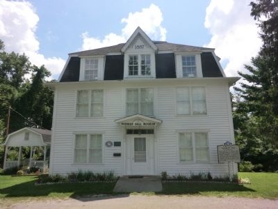
2. Pleasant Hill Marker
Photographed by Don Morfe, July 26, 2013
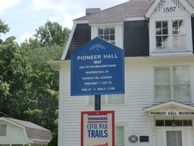
3. Pleasant Hill Marker

Photographed by Lee Hattabaugh, July 25, 2012
4. Pleasant Hill Academy 1941
Photographed by Lee Hattabaugh, July 25, 2012
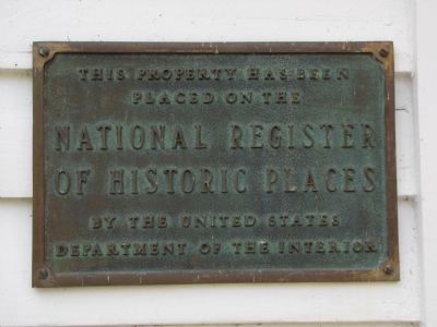
5. Pleasant Hill NRHP plaque
Credits. This page was last revised on June 16, 2016. It was originally submitted on October 11, 2013, by Don Morfe of Baltimore, Maryland. This page has been viewed 1,285 times since then and 40 times this year. Photos: 1, 2, 3. submitted on October 11, 2013, by Don Morfe of Baltimore, Maryland. 4, 5. submitted on March 20, 2014, by Lee Hattabaugh of Capshaw, Alabama. • Al Wolf was the editor who published this page.
