Near Tiburon in Marin County, California — The American West (Pacific Coastal)
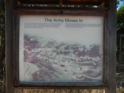
The Army Moves In
Camp Reynolds
Photographed by Barry Swackhamer, October 3, 2013
1. The Army Moves In Marker
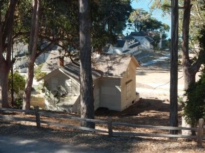
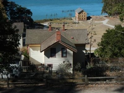
Following the Civil War, Camp Reynolds changed from an artillery post to an infantry post, processing recruits headed to fight the ”Indian Wars” and the Spanish American War and the Philippine American War. Several buildings still stand, hinting at Army life during the late 19th and early 20th centuries.
Topics. This historical marker is listed in this topic list: Forts and Castles. A significant historical year for this entry is 1863.
Location. Marker has been reported permanently removed. It was located near 37° 51.655′ N, 122° 26.388′ W. Marker was near Tiburon, California, in Marin County. It was on Perimeter Road, on the right when traveling south. Touch for map. Marker was in this post office area: Belvedere Tiburon CA 94920, United
this page online
We have been informed that this marker is no longer there and will not be replaced. This page is an archival view of what was.
Regionally, this marker was in California’s San Francisco Bay Area, in the North Coast, and specifically on the Coast Ranges. It was also on the American Pacific Coast. Globally, it was in North America, on the Ring of Fire, on the Pacific Rim, in the Western Hemisphere, in the Western World, and in the Anglosphere. Historically, it found itself in what was once New Spain and also Mexico’s Alta California.

Other nearby markers. At least 8 other markers are within walking distance of this location: Camp Reynolds (a few steps from this marker); Caring for Soldiers (within shouting distance of this marker); Housing the Troops (about 400 feet away, measured in a direct line); High Rank, Great View (about 400 feet away); Mule Power (about 600 feet away); Camp Reynolds Chapel (approx. 0.2 miles away); Defending the Bay (approx. 0.3 miles away); The Batteries (approx. 0.3 miles away). Touch for a list and map of all markers in Tiburon.
More about this marker. Perimeter Road

Photographed by Barry Swackhamer, October 3, 2013
2. The Army Moves In Marker
Also see . . . Angel Island, 1846 - 1876. National Park Service website entry (Submitted on March 26, 2026, by Larry Gertner of New York, New York.)
Photographed by Barry Swackhamer, October 3, 2013
3. Old Camp Reynolds Marker
Photographed by Barry Swackhamer, October 3, 2013
4. Camp Reynolds
Photographed by Barry Swackhamer, October 3, 2013
5. Camp Reynolds
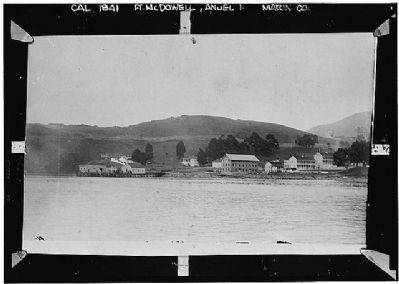
Library of Congress, 1930's
6. Camp Reynolds
Library of Congress - HABS CAL,21-ANGEL,1--1
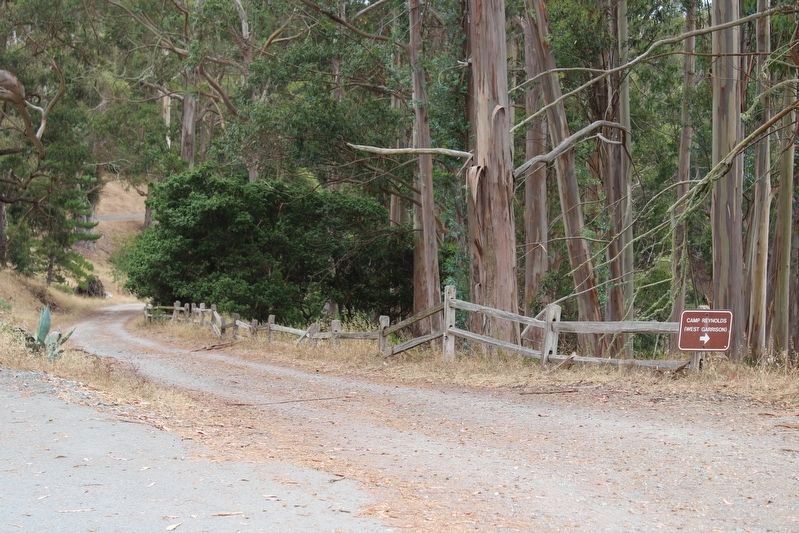
Photographed by Joseph Alvarado, July 30, 2022
7. The Army Moves In Marker has been removed
Credits. This page was last revised on March 26, 2026. It was originally submitted on October 12, 2013, by Barry Swackhamer of Brentwood, California. This page has been viewed 882 times since then and 23 times this year. Photos: 1, 2, 3, 4, 5. submitted on October 12, 2013, by Barry Swackhamer of Brentwood, California. 6. submitted on October 18, 2013. 7. submitted on August 2, 2022, by Joseph Alvarado of Livermore, California. • Syd Whittle was the editor who published this page.
