Round Rock in Williamson County, Texas — The American South (West South Central)
Round Rock Volunteer Fire Department

Texas Historical Reclamation Project, December 18, 2025
1. Round Rock Volunteer Fire Department Marker
This marker was cleaned and repainted by the Texas Historical Reclamation Project.
The Hose and Hand Pump Company was formed in 1884 as Round Rock’s first organized fire department. Money for equipment was raised through donations, picnics, dances, box suppers, and other fund drives. The first building constructed for Round Rock’s fire department was completed in 1892. About 1934, the department purchased its first piece of motor-driven equipment – a Model T Ford chassis. As one of the state’s oldest volunteer fire departments, it continues to provide significant service to the citizens of Round Rock.
Erected 1984 by Texas Historical Commission. (Marker Number 9332.)
Topics. This historical marker is listed in this topic list: Charity & Public Work. A significant historical year for this entry is 1884.
Location. 30° 31.916′ N, 97° 41.176′ W. Marker is in Round Rock, Texas, in Williamson County. It is on Commerce Boulevard, on the right when traveling east. Touch for map. Marker is at or near this postal address: 203 Commerce Blvd, Round Rock TX 78664, United States of America. Touch for directions.

Regionally, this marker is in Central Texas and in the Austin Metropolitan Area. It is also
this page online
Other nearby markers. At least 8 other markers are within 2 miles of this marker, measured as the crow flies: Harrell Cemetery (approx. half a mile away); The Pioneer Builders (approx. 1.1 miles away); William M. Owen House Complex (approx. 1.2 miles away); Round Rock Cemetery (approx. 1.2 miles away); Slave Burial Ground in Old Round Rock Cemetery (approx. 1.2 miles away); Barker House (approx. 1.3 miles away); Education in Round Rock (approx. 1.6 miles away); A. J. and Carolina Anderson House (approx. 1.6 miles away). Touch for a list and map of all markers in Round Rock.
Another marker is no longer nearby. The Round Rock (was approx. 1.3 miles away but has been confirmed missing).
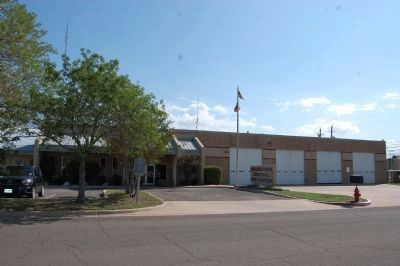
Photographed by Keith Peterson, October 6, 2013
2. Round Rock Volunteer Fire Department Marker
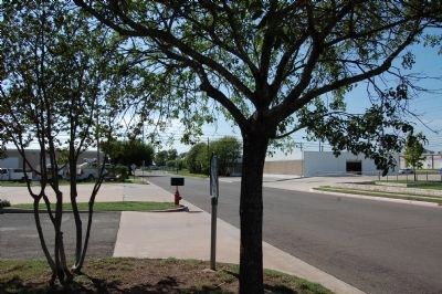
Photographed by Keith Peterson, October 6, 2013
3. Round Rock Volunteer Fire Department Marker
Looking west from marker.
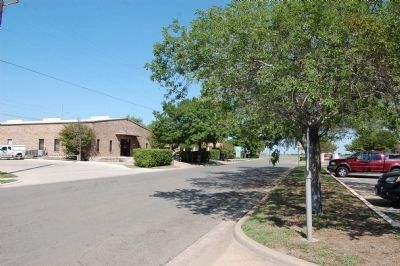
Photographed by Keith Peterson, October 6, 2013
4. Round Rock Volunteer Fire Department Marker
Looking east from marker.
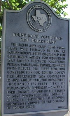
Photographed by Keith Peterson
5. Round Rock Volunteer Fire Department Marker
Credits. This page was last revised on December 20, 2025. It was originally submitted on November 28, 2009, by Keith Peterson of Cedar Park, Texas. This page has been viewed 1,052 times since then and 40 times this year. Last updated on October 12, 2013, by Keith Peterson of Cedar Park, Texas. Photos: 1. submitted on December 19, 2025, by Texas Marker Rescue of Austin, Texas. 2, 3, 4. submitted on October 12, 2013, by Keith Peterson of Cedar Park, Texas. 5. submitted on November 28, 2009, by Keith Peterson of Cedar Park, Texas. • Bill Pfingsten was the editor who published this page.
