Greenwood in Johnson County, Indiana — The American Midwest (Great Lakes)
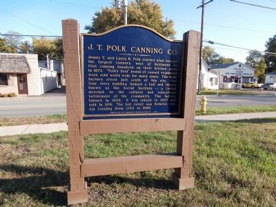
J. T. Polk Canning Co.
Photographed by Courtesy:: Marilyn S. Wolf, October 13, 2013
1. J. T. Polk Canning Co. Marker
Erected 1976 by Greenwood Historical Society.
Topics. This historical marker is listed in this topic list: Industry & Commerce. A significant historical year for this entry is 1872.
Location. 39° 36.827′ N, 86° 5.957′ W. Marker is in Greenwood, Indiana, in Johnson County. It is on East Main Street east of Polk Place, on the right when traveling east. Touch for map. Marker is in this post office area: Greenwood IN 46142, United States of America. Touch for directions.

Regionally, this marker is in Central Indiana and specifically in Greater Indianapolis.
this page online
Other nearby markers. At least 8 other markers are within 4 miles of this marker, measured as the crow flies: The Birthplace of Banking in Greenwood (approx. 0.6 miles away); James T. and Laura Polk Community House (approx. 0.6 miles away); First Church, School and Cemetery (approx. 0.8 miles away); Veterans Memorial (approx. one mile away); Pioneers Rest Here (approx. 1.1 miles away); Glade-Dobbins Cemetery (approx. 3½ miles away); Proctor Park (approx. 3½ miles away); Mary Bryan, Pioneer Woman (approx. 3.7 miles away). Touch for a list and map of all markers in Greenwood.
Another marker is no longer nearby. First Cabin in Greenwood (was approx. 1.6 miles away but has been confirmed missing).
Photographed by Courtesy:: Marilyn S. Wolf, October 13, 2013
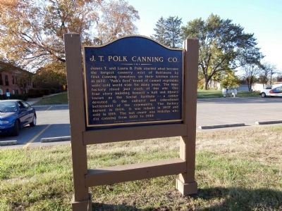
2. Reverse View - - J. T. Polk Canning Co. Marker
Photographed by Courtesy:: Marilyn S. Wolf, October 13, 2013
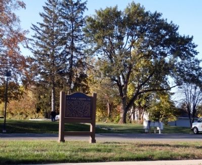
3. Wide View - - J. T. Polk Canning Co. Marker
Credits. This page was last revised on June 16, 2016. It was originally submitted on October 14, 2013, by Al Wolf of Veedersburg, Indiana. This page has been viewed 1,720 times since then and 88 times this year. Photos: 1, 2, 3. submitted on October 14, 2013, by Al Wolf of Veedersburg, Indiana.
