Osawatomie in Miami County, Kansas — The American Midwest (Upper Plains)
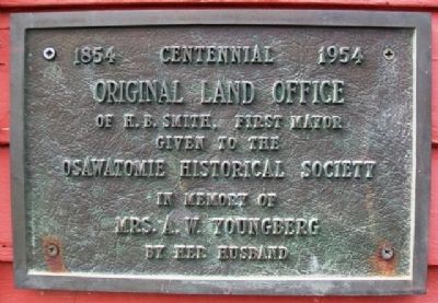
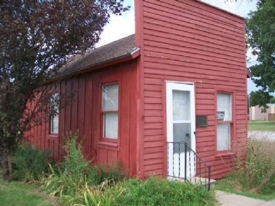
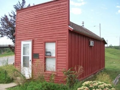
Original Land Office
1854 Centennial 1954
Given to the
Osawatomie Historical Society
in memory of
Mrs. A. W. Youngberg
by her husband
Topics. This historical marker is listed in this topic list: Notable Buildings.
Location. 38° 30.064′ N, 94° 57.096′ W. Marker is in Osawatomie, Kansas, in Miami County. Marker is at the intersection of 6th Street and Lincoln Avenue, on the right when traveling north on 6th Street. Touch for map. Marker is in this post office area: Osawatomie KS 66064, United States of America. Touch for directions.
Other nearby markers. At least 8 other markers are within walking distance of this marker. John Brown Country (a few steps from this marker); The Potawatomi Trail of Death (a few steps from this marker); Land Office (a few steps from this marker); Old Stone Church (about 300 feet away, measured in a direct line); a different marker also named Old Stone Church (about 300 feet away); Pat Devilin and "Jayhawk" (approx. 0.2 miles away); Soldiers Monument (approx. 0.3 miles away); Battle of Osawatomie (approx. 0.4 miles away). Touch for a list and map of all markers in Osawatomie.
Also see . . . Territorial Kansas Online. Internet Archive Wayback Machine website entry (Submitted on October 14, 2013, by William Fischer, Jr. of Scranton, Pennsylvania.)
Credits. This page was last revised on January 22, 2022. It was originally submitted on October 14, 2013, by William Fischer, Jr. of Scranton, Pennsylvania. This page has been viewed 382 times since then and 10 times this year. Photos: 1, 2, 3. submitted on October 14, 2013, by William Fischer, Jr. of Scranton, Pennsylvania.


