Union in Union County, New Jersey — The American Northeast (Mid-Atlantic)
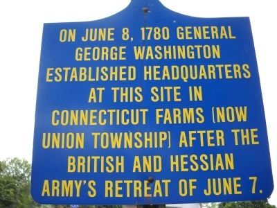
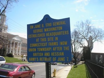
Washington’s Headquarters
Topics and series. This historical marker is listed in this topic list: War, US Revolutionary. In addition, it is included in the Former U.S. Presidents: #01 George Washington, and the George Washington Slept Here series lists. A significant historical month for this entry is June 1772.
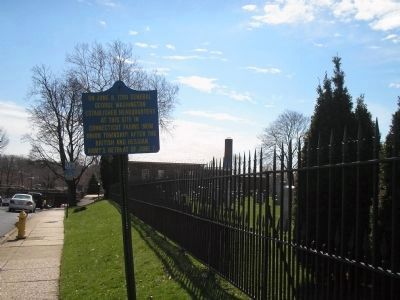
Location. 40° 41.56′ N, 74° 16.386′ W. Marker is in Union, New Jersey, in Union County. Marker is on Stuyvesant Avenue (County Route 619), on the right when traveling south. Touch for map. Marker is in this post office area: Union NJ 07083, United States of America. Touch for directions.
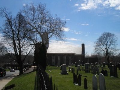
Other nearby markers. At least 8 other markers are within walking distance of this marker. Connecticut Farms (a few steps from this marker); Battle of Connecticut Farms (a few steps from this marker); First Presbyterian Church of Connecticut Farms (a few steps from this marker); Revolutionary Soldiers (within shouting distance of this marker); Mass Grave of British and Hessian Troops (about 400 feet away, measured in a direct line); Pearl Harbor Square (about 700 feet away); Jahn's Restaurant & Ice Cream Parlor (approx. 0.2 miles away); Christopher Columbus (approx. 0.3 miles away). Touch for a list and map of all markers in Union.
Also see . . . The Battles of Connecticut Farms and Springfield. (Submitted on April 6, 2008, by Bill Coughlin of Woodland Park, New Jersey.)
Credits. This page was last revised on August 6, 2020. It was originally submitted on April 6, 2008, by Bill Coughlin of Woodland Park, New Jersey. This page has been viewed 1,652 times since then and 19 times this year. Photos: 1. submitted on September 26, 2010, by Bill Coughlin of Woodland Park, New Jersey. 2, 3, 4. submitted on April 6, 2008, by Bill Coughlin of Woodland Park, New Jersey. • Craig Swain was the editor who published this page.


