Near Waveland in Parke County, Indiana — The American Midwest (Great Lakes)
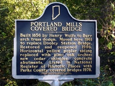
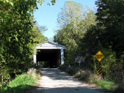
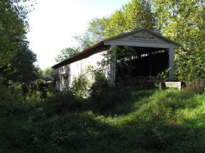
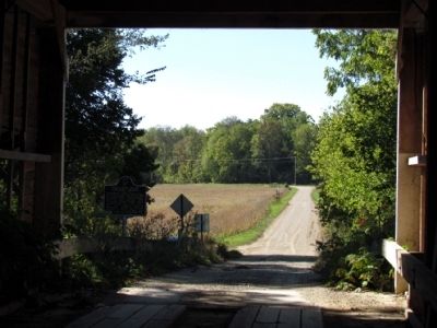
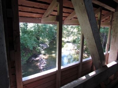
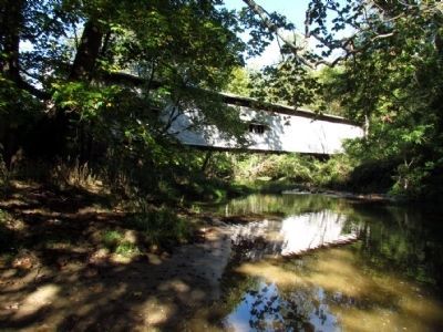
Portland Mills Covered Bridge
Erected 1998 by Indiana Historical Bureau and Portland Mills Homecoming Association. (Marker Number 61.1998.1.)
Topics and series. This historical marker is listed in this topic list: Bridges & Viaducts. In addition, it is included in the Covered Bridges, and the Indiana Historical Bureau Markers series lists. A significant historical year for this entry is 1856.
Location. 39° 51.644′ N, 87° 5.372′ W. Marker is near Waveland, Indiana, in Parke County. Marker is at the intersection of County Road E 650N and Saddle Club Road, on the right when traveling east on County Road E 650N. Touch for map. Marker is in this post office area: Waveland IN 47989, United States of America. Touch for directions.
Other nearby markers. At least 8 other markers are within 7 miles of this marker, measured as the crow flies. Turkey Run (approx. 6.1 miles away); Dorothy Madden Hobson Luther (approx. 6.2 miles away); State Sanatorium Covered Bridge (approx. 6.3 miles away); Site Of Shiloh Presbyterian Church (approx. 6.4 miles away); First Church Built in Parke County Indiana (approx. 6.4 miles away); Birthplace of Mordecai Brown (approx. 6˝ miles away); The Batty Mine Location (approx. 6.8 miles away); Portland Mills (approx. 7 miles away).
Regarding Portland Mills Covered Bridge. Dooley Station Bridge, the previous bridge that crossed the Little Raccoon Creek at this location, was destroyed by arson in 1960. At that time, the Portland Mills Covered Bridge was being removed eight miles to the southeast in advance of the bridge and the community of Portland Mills being inundated by the damming of Big Raccoon Creek and the creation of Cecil M. Harden Lake. The Portland Mills Covered Bridge was disassembled, moved to this location, and reassembled over Little Raccoon Creek.
Also see . . .
1. Portland Mills Covered Bridge - Wikipedia entry. Includes photographs of the damaged bridge before its renovation in 1996. (Submitted on October 16, 2013.)
2. Portland Mills Covered Bridge. (Submitted on December 2, 2020, by Craig Doda of Napoleon, Ohio.)
Credits. This page was last revised on December 3, 2020. It was originally submitted on October 16, 2013, by Duane Hall of Abilene, Texas. This page has been viewed 534 times since then and 16 times this year. Photos: 1, 2, 3, 4, 5, 6. submitted on October 16, 2013, by Duane Hall of Abilene, Texas.
