
Loudon in Loudon County, Tennessee — The American South (East South Central)
Loudon County Courthouse
Photographed by Steven D Weiss, December 31, 2022
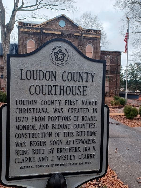
1. Loudon County Courthouse Marker
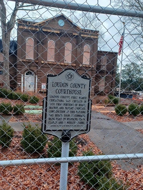
Loudon County first named Christiana, was created in 1870 from portions of Roane, Monroe and Blount Counties. Construction of this building was begun soon afterwards, being built by Brothers, Ira N. Clarke and J. Wesley Clarke.
National Register of Historic Places App. 1975
Topics. This historical marker is listed in these topic lists: Government & Politics • Settlements & Settlers. A significant historical year for this entry is 1870.
Location. 35° 44.477′ N, 84° 20.186′ W. Marker is in Loudon, Tennessee, in Loudon County. It is at the intersection of Grove Street and Mulberry Street (U.S. 11), on the right when traveling north on Grove Street. The marker is on the west lawn of the Loudon County Courthouse. Touch for map. Marker is in this post office area: Loudon TN 37774, United States of America. Touch for directions.

Regionally, this marker is in East Tennessee and in Greater Knoxville. It is also in the American South, specifically in the Upper South, in Appalachia, and specifically in Southern Appalachia. Globally, it is in North America, the Western Hemisphere, the Western World, and the Anglosphere.
this page online
Other nearby markers. At least 8 other markers are within 6 miles of this marker, measured as the crow flies: Sgt. Mitchell W. Stout (here, next to this marker); Loudon County Confederate Memorial (about 300 feet away, measured in a direct line); Longstreet's Crossing (about 400 feet away); Dunbar Rosenwald School (approx. ¼ mile away); Railroad Trestle (approx. 0.8 miles away); Loudon Railroad Bridge (approx. 1.3 miles away); Loudon County World War II Memorial (approx. 5.2 miles away); Loudon County World War I Memorial (approx. 5.2 miles away). Touch for a list and map of all markers in Loudon.
Photographed by Don Morfe, July 28, 2013
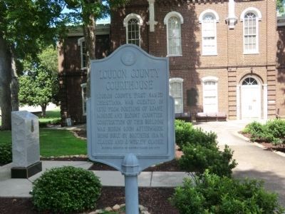
2. Loudon County Courthouse Marker
Photographed by Steven D Weiss, December 31, 2022
3. Loudon County Courthouse Marker
Photographed by Don Morfe, July 28, 2013
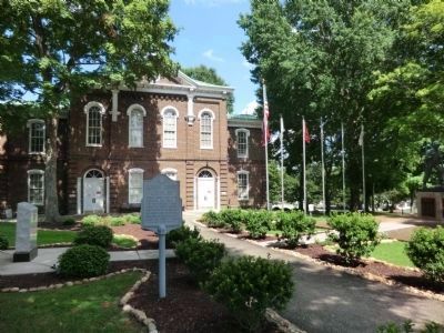
4. Loudon County Courthouse
Credits. This page was last revised on January 5, 2023. It was originally submitted on October 16, 2013, by Don Morfe of Baltimore, Maryland. This page has been viewed 1,016 times since then and 38 times this year. Photos: 1. submitted on December 31, 2022, by Steven D Weiss of Sweetwater, Tennessee. 2. submitted on October 16, 2013, by Don Morfe of Baltimore, Maryland. 3. submitted on December 31, 2022, by Steven D Weiss of Sweetwater, Tennessee. 4. submitted on October 16, 2013, by Don Morfe of Baltimore, Maryland. • Bernard Fisher was the editor who published this page.
