Wetumpka in Elmore County, Alabama — The American South (East South Central)
Wetumpka's Bridges
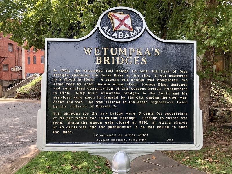
In 1834, the Wetumpka Toll Bridge Co. built the first of four bridges spanning the Coosa River at this site. It was destroyed in a flood in 1844. A second toll bridge was completed the same year by John Godwin whose slave, Horace King, designed and supervised construction of this covered bridge. Emancipated in 1846, King built numerous bridges in the South and his services were much in demand by the CSA during the Civil War. After the war, he was elected to the state legislature twice by the citizens of Russell Co.
Toll charges for the new bridge were 5 cents for pedestrians or $1 per month for unlimited passage. Passage to church was free. Since the wagon gate closed at 9PM, an extra charge of 25 cents was due the gatekeeper if he was called to open the gate.
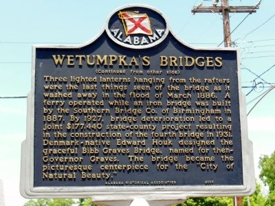
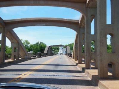
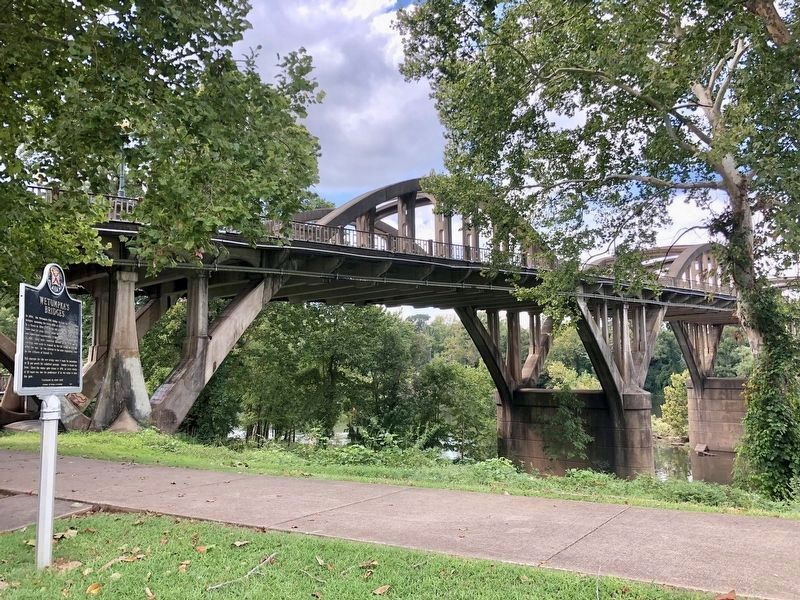
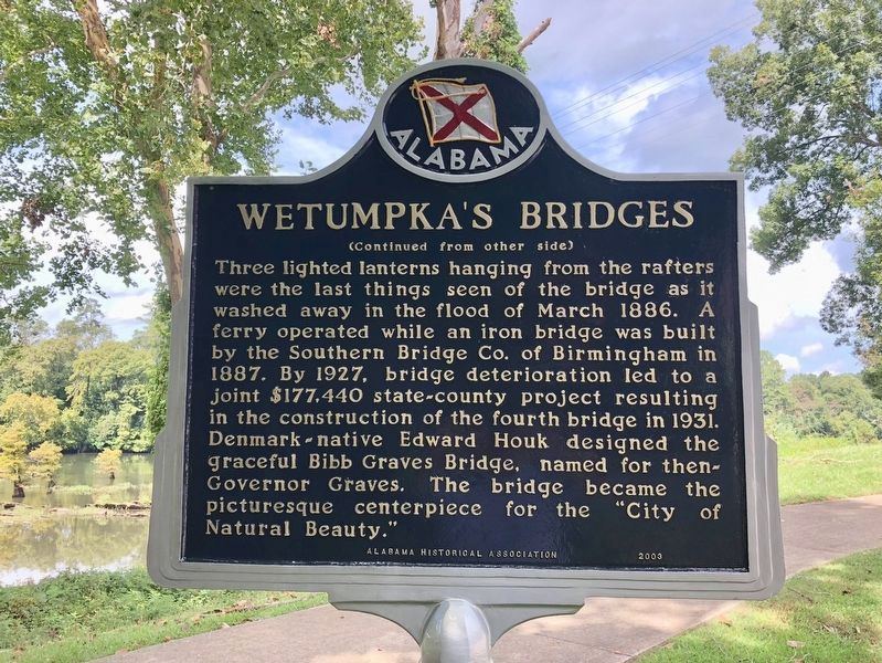
Three lighted lanterns hanging from the rafters were the last things seen of the bridge as it washed away in the flood of March 1886. A ferry operated while an iron bridge was built by the Southern Bridge Co. of Birmingham in 1887. By 1927, bridge deterioration led to a joint $177,440 state-county project resulting in the construction of the fourth bridge in 1931. Denmark native Edward Houk designed the graceful Bibb Graves Bridge, named for then-Governor Graves. The bridge became the picturesque centerpiece for the “City of Natural Beauty.”
Erected 2003 by Alabama Historical Association.
Topics and series. This historical marker is listed in these topic lists: African Americans • Bridges & Viaducts • War, US Civil. In addition, it is included in the Alabama Historical Association series list. A significant historical year for this entry is 1834.
Location. 32° 32.283′ N, 86° 12.348′ W. Marker is in Wetumpka, Alabama, in Elmore County. Marker is on Orline Street, 0.1 miles south of Hill Street, on the right when traveling south. The marker was moved more than 1000 feet from the north end of the bridge to the south end, near the Old Calaboose jail building. Touch for map. Marker is in this post office area: Wetumpka AL 36092, United States of America. Touch for directions.
Other nearby markers. At least 8 other markers are within walking distance of this marker. High Water Mark (a few steps from this marker); Old Calaboose (a few steps from this marker); Elmore County Vietnam War Memorial (about 400 feet away, measured in a direct line); Wetumpka Impact Crater (about 400 feet away); a different marker also named Wetumpka Impact Crater (about 400 feet away); Wetumpka Historical Marker (about 400 feet away); Wetumpka Timeline (about 500 feet away); Elmore County Korean War Memorial (about 500 feet away). Touch for a list and map of all markers in Wetumpka.
More about this marker. The marker was moved more than 1000 feet from the north end of the bridge to the south end, near the Old Calaboose jail building.
Credits. This page was last revised on March 3, 2024. It was originally submitted on October 17, 2013, by Cosmos Mariner of Cape Canaveral, Florida. This page has been viewed 1,327 times since then and 62 times this year. Photos: 1. submitted on September 26, 2018, by Mark Hilton of Montgomery, Alabama. 2, 3. submitted on October 17, 2013, by Cosmos Mariner of Cape Canaveral, Florida. 4, 5. submitted on September 26, 2018, by Mark Hilton of Montgomery, Alabama. 6. submitted on October 17, 2013, by Cosmos Mariner of Cape Canaveral, Florida. • Bernard Fisher was the editor who published this page.
