Union in Union County, New Jersey — The American Northeast (Mid-Atlantic)
General von Knyphausen
Inscription.
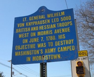
von Knyphausen led 5000
British and Hessian troops
west on Morris Avenue
on June 7, 1780. His
objective was to destroy
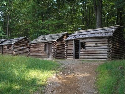
Washington’s army camped
in Morristown.
Topics. This historical marker is listed in this topic list: War, US Revolutionary. A significant historical month for this entry is June 1962.
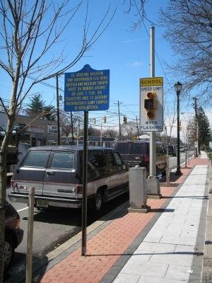
Location. 40° 41.349′ N, 74° 14.785′ W. Marker is in Union, New Jersey, in Union County. Marker is at the intersection of Morris Avenue (County Route 82) and Colonial Avenue, on the right when traveling west on Morris Avenue. Touch for map. Marker is in this post office area: Union NJ 07083, United States of America. Touch for directions.
Other nearby markers. At least 8 other markers are within 2 miles of this marker, measured as the crow flies. Wagon Shed (approx. 1.1 miles away); The Serpentine Path (approx. 1.1 miles away); Steam Tractor (approx. 1.1 miles away); Carriage House (approx. 1.1 miles away); The Blue House (approx. 1.2 miles away); Liberty Hall (approx. 1.2 miles away); Horse Chestnut Tree (approx. 1.2 miles away); a different marker also named Liberty Hall (approx. 1.2 miles away). Touch for a list and map of all markers in Union.
Also see . . .
1. The Battles of Connecticut Farms and Springfield. (Submitted on April 7, 2008, by Bill Coughlin of Woodland Park, New Jersey.)
2. Morristown National Historical Site . National Park Service. (Submitted on April 7, 2008, by Bill Coughlin of Woodland Park, New Jersey.)
Credits. This page was last revised on June 16, 2016. It was originally submitted on April 7, 2008, by Bill Coughlin of Woodland Park, New Jersey. This page has been viewed 1,174 times since then and 8 times this year. Photos: 1, 2, 3. submitted on April 7, 2008, by Bill Coughlin of Woodland Park, New Jersey. • Craig Swain was the editor who published this page.


