Riverview in Kansas City in Wyandotte County, Kansas — The American Midwest (Upper Plains)
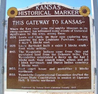
This Gateway to Kansas
Where the Kaw river joins the mighty Missouri in its sweep eastward, has witnessed many events of historical significance to this area, among them:
1804. Lewis and Clark, on their epic exploring trip assaying the new Louisiana Purchase, camped 3 days 4 blocks east.
1809. Louis Bartholet built a cabin 3 blocks south - first white settler.
1843. The Wyandotte Indians came from Ohio and purchased land from the Delaware tribe. The Wyandottes established a ferry on the Kaw 3 blocks east; their council house, school, and jail 1 block northeast; and Huron Indian cemetery 2 blocks west.
1855. First court house and postoffice 3 blocks northeast.
1859. Wyandotte Constitutional Convention drafted the Kansas State Constitution in session at Lipman's Hall, 5 blocks northeast.
Erected 1965 by Kansas State Historical Society. (Marker Number 115.)
Topics and series. This historical marker is listed in these topic lists: Exploration • Government & Politics • Native Americans • Settlements & Settlers. In addition, it is included in the Kansas Historical Society series list. A significant historical year for this entry is 1804.
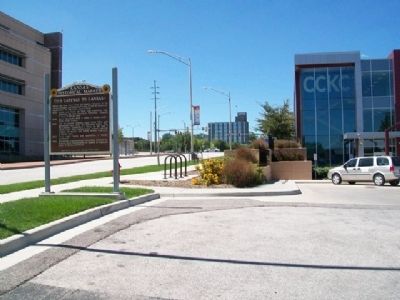
Location. 39° 6.941′ N, 94° 37.205′ W. Marker is in Kansas City, Kansas, in Wyandotte County. It is in Riverview. Marker is on Minnesota Avenue west of 4th Street, on the right when traveling west. Touch for map. Marker is in this post office area: Kansas City KS 66101, United States of America. Touch for directions.
Other nearby markers. At least 8 other markers are within walking distance of this marker. First Baptist Church and First African Methodist Episcopal Church (about 500 feet away, measured in a direct line); St. Mary's Church (approx. 0.2 miles away); The Cruise-Scroggs Mansion (approx. 0.2 miles away); Commissioner Thomas F. Lally (approx. 0.2 miles away); Eliza Burton Conley (approx. 0.3 miles away); Helena Conley (approx. 0.3 miles away); Silas Armstrong (approx. 0.3 miles away); The History of the Wyandot Indian Nation (approx. 0.4 miles away). Touch for a list and map of all markers in Kansas City.
Also see . . . History of Wyandotte County Kansas and Its People (1911). (Submitted on October 19, 2013, by William Fischer, Jr. of Scranton, Pennsylvania.)
Credits. This page was last revised on February 10, 2023. It was originally submitted on October 19, 2013, by William Fischer, Jr. of Scranton, Pennsylvania. This page has been viewed 505 times since then and 23 times this year. Photos: 1, 2. submitted on October 19, 2013, by William Fischer, Jr. of Scranton, Pennsylvania.

