
Ely in White Pine County, Nevada — The American Mountains (Southwest)
Ely - Forging the Link
Photographed by Bill Kirchner, October 4, 2013
1. Ely - Forging the Link Marker
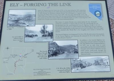
The towns of eastern Nevada were joined during the late nineteenth century by a network of wagon roads. In 1913, the road through Ely was incorporated into the transcontinental Lincoln Highway, though it was not paved until 1922. Ely had over 2,000 residents and offered many services, making it an excellent stopping place on the long road across the Great Basin. When the copper industry declined during World War I, the struggling town turned to travelers for income.
The Lincoln Highway was designated US 50 in 1926. By mid-century the popularity
this page online
In addition to the Lincoln Highway, two other major national roadways converge at Ely. The Midland Trail, designated Route 6 in 1937, was an early coast to coast automobile road that also connected Ely to Tonopah and Southern California. US 93, which passes north-south through Ely, takes travelers from Canada almost to the Mexican border.
Erected by State of Nevada Historical Preservation Office. (Marker Number 269.)
Topics and series. This historical marker is listed in this topic list: Settlements & Settlers. In addition, it is included in the Lincoln Highway series list. A significant historical year for this entry is 1859.
Location. 39° 14.892′ N, 114° 53.473′ W. Marker is in Ely, Nevada, in White Pine County. It is at the intersection of Aultman Street and 7th Street, on the left when traveling west on Aultman Street. Touch for map. Marker is in this post office area: Ely NV 89301, United States of America. Touch for directions.

Regionally, this marker is in Central Nevada and in Elko Country. It is also in the American
Photographed by Bill Kirchner, October 4, 2013
2. Ely - Forging the Link Marker
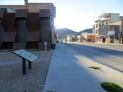
View west on Aultman Street.
Other nearby markers. At least 8 other markers are within 14 miles of this marker, measured as the crow flies: U.S. Post Office Ely, Nevada - 1937 (about 600 feet away, measured in a direct line); The Liberty Pit (about 800 feet away); Nevada Northern Railway (approx. ¾ mile away); Jedediah Strong Smith (approx. 4.1 miles away); Copper Country (approx. 4.6 miles away); The Ward Cemetery (approx. 12.1 miles away); Ward Mining District (approx. 13.3 miles away); Taylor (approx. 13.3 miles away). Touch for a list and map of all markers in Ely.
circa October 4, 2013
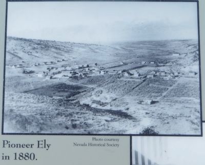
3. photo on Ely - Forging the Link Marker
Photographed by Bill Kirchner, October 4, 2013
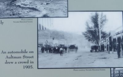
4. photo on Ely - Forging the Link Marker
Credits. This page was last revised on June 16, 2016. It was originally submitted on October 19, 2013, by Bill Kirchner of Tucson, Arizona. This page has been viewed 697 times since then and 26 times this year. Photos: 1, 2, 3, 4. submitted on October 19, 2013, by Bill Kirchner of Tucson, Arizona. • Syd Whittle was the editor who published this page.
