New Richmond in St. Croix County, Wisconsin — The American Midwest (Great Lakes)
Paperjack Creek
Wisconsin Heritage Tourism
Photographed by Paul Fehrenbach, October 11, 2013
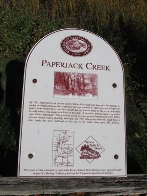
1. Paperjack Creek Marker
This is one of many interpretive signs in the Rivers, Rails & Trails Heritage Area, a project funded in part by a Heritage Tourism grant from the Wisconsin Department of Tourism.
Erected by the Wisconsin Department of Tourism, in part.
Topics. This historical marker is listed in this topic list: Settlements & Settlers. A significant historical year for this entry is 1855.
Location. 45° 6.653′ N, 92° 32.14′ W. Marker is in New Richmond, Wisconsin, in St. Croix County. It can be reached from Heritage
this page online

Regionally, this marker is in the Twin Cities Metropolitan Area and in Western Wisconsin. It is also in the American Midwest and in the Corn Belt. Globally, it is in North America, the Western Hemisphere, the Western World, and the Anglosphere. Historically, it finds itself in what was once the territory of the Mississippian Culture and also the Northwest Territory.
Other nearby markers. At least 8 other markers are within walking distance of this marker: Bell-Tierney Farmhouse (within shouting distance of this marker); New Richmond Heritage Center (within shouting distance of this marker); Northside House (within shouting distance of this marker); Heritage Cemetery (about 300 feet away, measured in a direct line); Heritage Church (about 300 feet away); Blacksmith Shop (Log Barn) (about 400 feet away); Ubet Store (about 400 feet away);
Photographed by Paul Fehrenbach, October 11, 2013
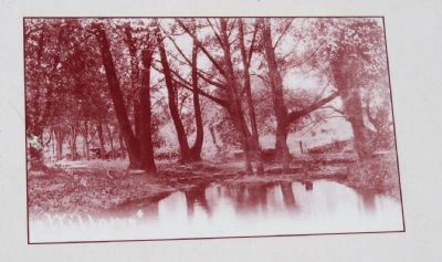
2. Paperjack Creek Marker
This is a close up of the inset photo of Epley’s trout ponds on the marker.
Photographed by Paul Fehrenbach, October 11, 2013
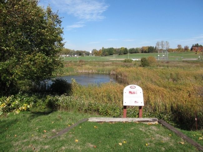
3. Paperjack Creek Marker
The view looking north from marker toward Paperjack Creek Park and Trail.
Photographed by Paul Fehrenbach, October 11, 2013
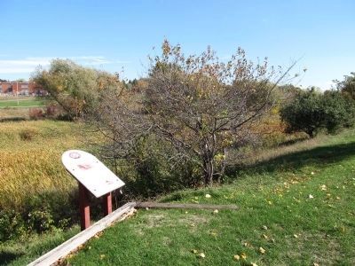
4. Paperjack Creek Marker
The view looking east from the marker along Paperjack Creek Park and Trail.
Credits. This page was last revised on June 16, 2016. It was originally submitted on October 21, 2013, by Paul Fehrenbach of Richfield, Wisconsin. This page has been viewed 1,177 times since then and 78 times this year. Photos: 1, 2, 3, 4. submitted on October 21, 2013, by Paul Fehrenbach of Richfield, Wisconsin. • William J. Toman was the editor who published this page.
