Near Fallon in Churchill County, Nevada — The American Mountains (Southwest)
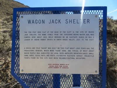
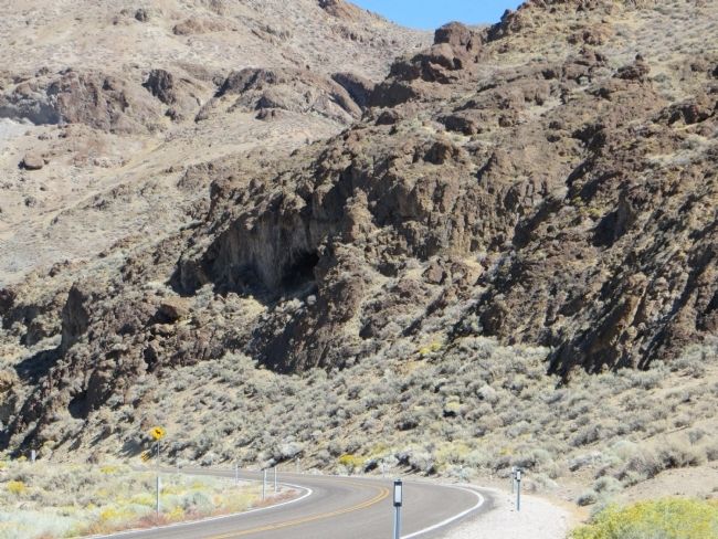
Wagon Jack Shelter
A brush and pole "house" was built on the flat about 1,500 years ago. The prehistoric remains, which were found here, are typical of most Great Basin people who subsisted on local deer, antelope, mountain sheep, small game, birds, seeds, nuts, and roots. Distinctive "Eastgate Series" projectile points found on this site have been valuable cultural indicators.
Erected by Nevada State Park System; Austin Chamber of Commerce. (Marker Number 110.)
Topics. This historical marker is listed in this topic list: Native Americans. A significant historical year for this entry is 1900.
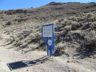
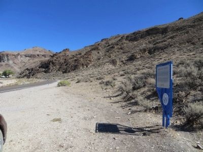
Location. 39° 18.146′ N, 117° 53.01′ W. Marker is near Fallon, Nevada, in Churchill County. Marker is on Nevada Route 722 at milepost 4.7, on the right when traveling north. Touch for map. Marker is in this post office area: Fallon NV 89406, United States of America. Touch for directions.
Other nearby markers. At least 5 other markers are within 10 miles of this marker, measured as the crow flies. The Pony Express (approx. 6.4 miles away); Rock Creek (approx. 6.4 miles away); Central Overland Trail - Cold Springs Station (approx. 6.4 miles away); Middlegate Station (approx. 7.7 miles away); Central Overland Trail - Westgate Station (approx. 9.1 miles away).
Credits. This page was last revised on June 16, 2016. It was originally submitted on October 23, 2013, by Bill Kirchner of Tucson, Arizona. This page has been viewed 729 times since then and 31 times this year. Photos: 1, 2, 3, 4. submitted on October 23, 2013, by Bill Kirchner of Tucson, Arizona. • Syd Whittle was the editor who published this page.


