Kingsport in Sullivan County, Tennessee — The American South (East South Central)
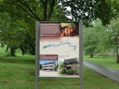
Daniel Boone Wilderness Trail
Photographed by Don Morfe, July 31, 2013
1. Daniel Boone Wilderness Trail Marker
Look for this symbol on highway signs.
(Inscription above the photo in the lower left)
Netherland Inn-Richard Netherland purchased this Inn in 1818 and served travelers on the Great Stage Road. Frequent guests included President Andrew Jackson, Andrew Johnson, and James K. Polk. Earlier William King built flatboats here and shipped salt mined in Saltville, VA, to points as far away as New Orleans. Netherland Inn still has its original floors, plastered walls, door, and door hardware. The Inn is the only site on the National Register of Historic Places that was both a stagecoach and boatyard.
(Inscription over the photo in the lower right)
this page online
Topics and series. This historical marker is listed in this topic list: Settlements & Settlers. In addition, it is included in the Former U.S. Presidents: #17 Andrew Johnson series list. A significant historical month for this entry is March 1775.
Location. 36° 33.033′ N, 82° 35.667′ W. Marker is in Kingsport, Tennessee, in Sullivan County. It is on Netherland Inn Road west of Ridgefields Road, on the left when traveling west. The marker is located in Centennial Boat Yard Park. Touch for map. Marker is in this post office area: Kingsport TN 37660, United States of America. Touch for directions.

Regionally, this marker is in East Tennessee and in the Tri-Cities Area. It is also in the American South, specifically in the Upper South, in Appalachia, and specifically in Southern Appalachia. Globally, it is in North America, the Western Hemisphere, the Western World, and the Anglosphere.
Photographed by Don Morfe, July 31, 2013
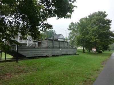
2. Daniel Boone Wilderness Trail Marker
Float boat with the Netherland Inn in the background
Other nearby markers. At least 8 other markers are within walking distance of this marker: Flatboat "Adventure" December 22, 1779 (within shouting distance of this marker); The Boat Yard (within shouting distance of this marker); Flatboat (within shouting distance of this marker); Netherland Inn (within shouting distance of this marker); Bank Barn (within shouting distance of this marker); Netherland Inn / King's Boat Yard (within shouting distance of this marker); Colonel Gilbert Christian (about 300 feet away, measured in a direct line); The Old Schoolhouse (about 300 feet away). Touch for a list and map of all markers in Kingsport.
Photographed by Don Morfe, July 31, 2013
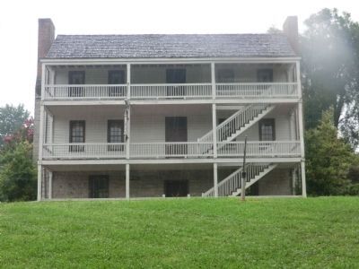
3. Daniel Boone Wilderness Trail Marker
Netherland Inn-front of building
Photographed by Don Morfe, July 31, 2013
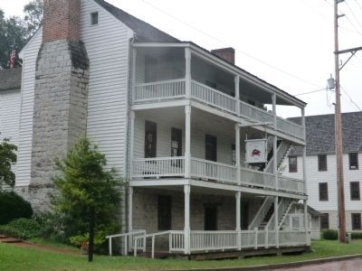
4. Daniel Boone Wilderness Trail Marker
Side view of the Netherland Inn
Credits. This page was last revised on June 16, 2016. It was originally submitted on October 24, 2013, by Don Morfe of Baltimore, Maryland. This page has been viewed 2,184 times since then and 146 times this year. Photos: 1, 2, 3, 4. submitted on October 24, 2013, by Don Morfe of Baltimore, Maryland. • Al Wolf was the editor who published this page.
