Champlin in Hennepin County, Minnesota — The American Midwest (Upper Plains)
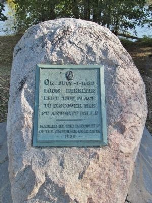
Louis Hennepin
Louis Hennepin
left this place
to discover the
St Anthony Falls
———
Marked by the Daughters
of the American Colonists
– 1929 –
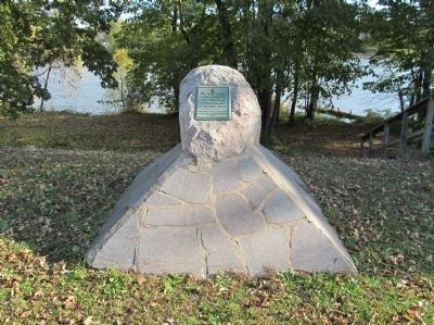
Erected 1929 by the Daughters of the American Colonists.
Topics and series. This historical marker is listed in this topic list: Exploration. In addition, it is included in the Daughters of the American Colonists series list. A significant historical year for this entry is 1929.
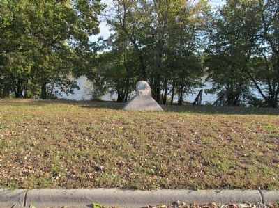
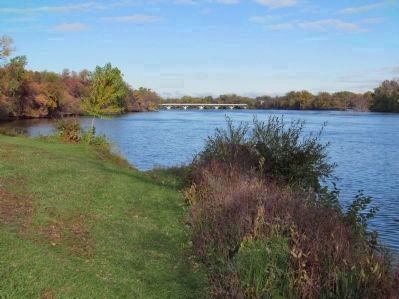
Location. 45° 11.201′ N, 93° 23.498′ W. Marker is in Champlin, Minnesota, in Hennepin County. Marker is on East River Parkway south of Dowlin Street North, on the left when traveling south. Touch for map. Marker is in this post office area: Champlin MN 55316, United States of America. Touch for directions.
Other nearby markers. At least 8 other markers are within walking distance of this marker. World War II Monument (about 300 feet away, measured in a direct line); Circle of Life (approx. ¼ mile away); Highway of Exploration (approx. ¼ mile away); River Highways (approx. 0.3 miles away); Logbooms Meet Sawmills (approx. 0.3 miles away); Fireman's Grove (approx. 0.3 miles away); Where Land and Water Meet (approx. 0.3 miles away); Bridging the Mississippi (approx. 0.3 miles away).
Also see . . . Louis Hennepin. Wikipedia entry. "Two great waterfalls were brought to the world's attention by Louis Hennepin: Niagara Falls, with the most voluminous flow of any in North America, and the Saint Anthony Falls in what is now Minneapolis, the only waterfall on the Mississippi River." (Submitted on October 26, 2013.)
Credits. This page was last revised on June 16, 2016. It was originally submitted on October 26, 2013, by Keith L of Wisconsin Rapids, Wisconsin. This page has been viewed 663 times since then and 43 times this year. Photos: 1, 2, 3, 4. submitted on October 26, 2013, by Keith L of Wisconsin Rapids, Wisconsin.


