Anchorage, Alaska — Northwest (North America)
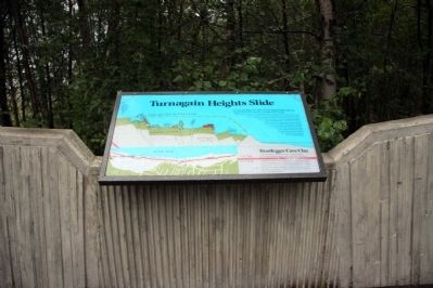
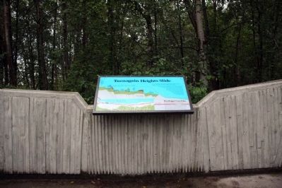
Turnagain Heights Slide
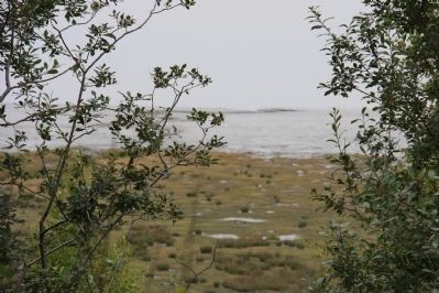
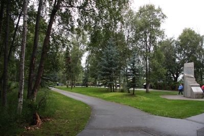
You are standing on the edge of the Turnagain Heights Slide, the largest and most destructive landslide in Anchorage.
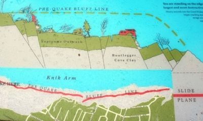
Ninety seconds into the Good Friday Earthquake, an 8,000-foot strip of bluff, 1,200 feet wide began cracking apart into larger blocks which slid toward Cook Inlet. With a savage and grinding roll, the slide transported some homes 500 feet seaward, and broke apart or crushed other homes. Residents rushed outside their homes only to be thrown to the ground as the blocks pulled apart and heaved around them. Others were trapped in their homes. The slide movement continued for 90 seconds after the earthquake stopped shaking Anchorage. Over 12 million cubic yards of sand, clay and gravel slid off toward the inlet, 75 homes were destroyed, and four people perished.
Bootlegger Cove Clay
Underneath most coastal Anchorage is a deep layer of gray- blue material called Bootlegger Cove Clay. This silty plastic clay is composed of estuary-miarine sediment, and was deposited 15,000 to 30,000 years ago by massive glaciers that covered most of south-central Alaska. Unfortunately, it can be extremely soft and unstable. During an earthquake Bootlegger Cove Clay tends to liquefy and lose strength and where the upper clay layers contain loose sand layers, it can dramatically fail.
Topics. This historical marker is listed in this topic list: Disasters.
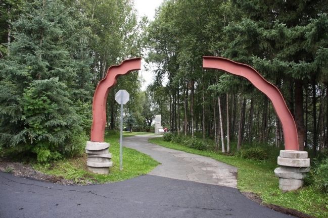
Location. 61° 11.911′ N, 149° 58.802′ W. Marker is in Anchorage, Alaska. This marker is located in Earthquake Park on W Northern Lights Blvd. It is also accessible from the Tony Knowles Bicycle Trail. Parking is available on W Northern Lights Blvd. (N 61° 11.756 W 149° 58.578). From the parking lot, follow the paved path to the marker. Touch for map. Marker is in this post office area: Anchorage AK 99502, United States of America. Touch for directions.
Other nearby markers. At least 8 other markers are within 5 miles of this marker, measured as the crow flies. The Earth Did Quake (here, next to this marker); Measuring the Magnitude of Damage (a few steps from this marker); Tsunami! (within shouting distance of this marker); Anchorage Aloft! (about 400 feet away, measured in a direct line); Oscar Gill House (approx. 2˝ miles away); Captain James Cook (approx. 2.9 miles away); Resolution Park 1776 / 1778 (approx. 2.9 miles away); What is this “Rock Man”? (approx. 4.3 miles away). Touch for a list and map of all markers in Anchorage.
Also see . . .
1. 1964 Alaska earthquake. Wikipedia entry (Submitted on October 2, 2013, by Byron Hooks of Sandy Springs, Georgia.)
2. Great Alaskan earthquake of 1964. You Tube video (1m 15s) (Submitted on October 2, 2013, by Byron Hooks of Sandy Springs, Georgia.)
3. Megathrust earthquake. Wikipedia entry (Submitted on October 2, 2013, by Byron Hooks of Sandy Springs, Georgia.)
Credits. This page was last revised on February 11, 2024. It was originally submitted on October 2, 2013, by Byron Hooks of Sandy Springs, Georgia. This page has been viewed 1,281 times since then and 120 times this year. Last updated on October 27, 2013, by Byron Hooks of Sandy Springs, Georgia. Photos: 1, 2, 3, 4, 5, 6. submitted on October 2, 2013, by Byron Hooks of Sandy Springs, Georgia. • Syd Whittle was the editor who published this page.
