Elkhart in Elkhart County, Indiana — The American Midwest (Great Lakes)
Island Park
Photographed by Duane Hall, October 25, 2013
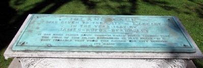
1. Island Park Marker
Island Park was given to the City of Elkhart in the Year 1887 by James Rufus Beardsley
It has been passed down through early Indian legions that the form of this island resembled an elk's heart - it is very probable, that from this source our city derived its name
Topics. This historical marker is listed in this topic list: Settlements & Settlers. A significant historical year for this entry is 1887.
Location. 41° 41.489′ N, 85° 58.348′ W. Marker is in Elkhart, Indiana, in Elkhart County. It can be reached from Pacific Street west of N. Elkhart Avenue. Marker is located on Island Park; you may park your vehicle on Pacific Street in Lundquist Bicentennial Park and walk across the pedestrian bridge to the island. Touch for map. Marker is in this post office area: Elkhart IN 46514, United States of America. Touch for directions.

Regionally, this marker is in Northern Indiana and in Greater South Bend. It is also in the American Midwest and in the Corn Belt. Globally, it is in North America, the Western Hemisphere, the Western World, and the Anglosphere. Historically, it finds itself in what was once the territory
this page online
Other nearby markers. At least 8 other markers are within walking distance of this marker: The Rivers for Recreation (about 400 feet away, measured in a direct line); The Rivers for Commerce (about 400 feet away); Development of Diagnostic Test Strips (about 700 feet away); The Rivers and the Native Americans (about 700 feet away); Ruthmere (about 700 feet away); Elkhart River Wharves (about 700 feet away); The Rivers for Industry (approx. 0.2 miles away); Main St. Memorial Bridge (approx. 0.2 miles away). Touch for a list and map of all markers in Elkhart.
Photographed by Duane Hall, October 25, 2013
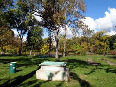
2. Island Park Marker
Photographed by Duane Hall, October 25, 2013
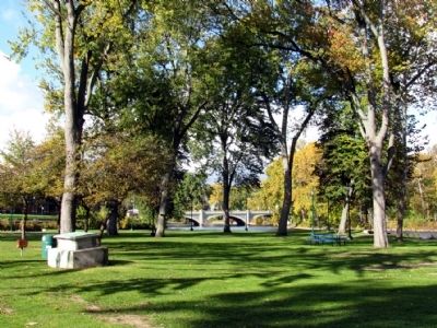
3. Island Park
Photographed by Duane Hall, October 25, 2013
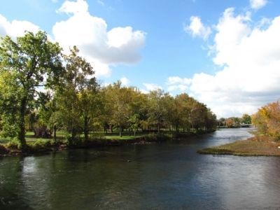
4. Island Park
Miles Centennial (pedestrian) Bridge over the St. Joseph River
Credits. This page was last revised on June 16, 2016. It was originally submitted on October 27, 2013, by Duane Hall of Abilene, Texas. This page has been viewed 1,126 times since then and 73 times this year. Photos: 1, 2, 3, 4. submitted on October 27, 2013, by Duane Hall of Abilene, Texas.
