Paulsboro in Gloucester County, New Jersey — The American Northeast (Mid-Atlantic)
Fort Billingsport
Photographed by Bill Coughlin, October 27, 2013
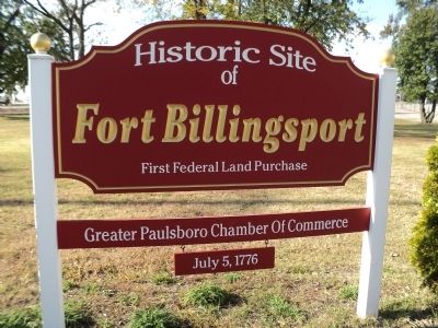
1. Fort Billingsport Marker
of
Fort Billingsport
First Federal Land Purchase
July 5, 1776
Erected by Greater Paulsboro Chamber of Commerce.
Topics. This historical marker is listed in this topic list: War, US Revolutionary. A significant historical date for this entry is July 5, 1776.
Location. 39° 50.716′ N, 75° 14.964′ W. Marker is in Paulsboro, New Jersey, in Gloucester County. It is at the intersection of Clonmell Road and N Delaware Street, on the right when traveling west on Clonmell Road. Marker is in the Red Bank Battlefield. Touch for map. Marker is in this post office area: Paulsboro NJ 08066, United States of America. Touch for directions.

Regionally, this marker is in South Jersey and in Greater Philadelphia. It is also in the American Northeast, in the Mid-Atlantic, and on the Eastern Seaboard. Globally, it is in the North Atlantic Region, North America, the Western Hemisphere, the Western World, and the Anglosphere. Historically, it finds itself in what was once New Netherland and also one of the original Thirteen Colonies.
Other nearby markers. At least 8 other markers are within 3 miles of this marker, measured as
this page online
Photographed by Bill Coughlin, October 27, 2013
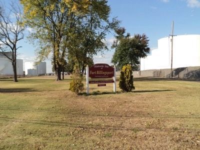
2. Fort Billingsport Marker
The day after signing the Declaration of Independence, the Continental Congress bought this 96 acre plot of land for 600 pounds for the purpose of constructing a fort to protect Philadelphia from an approach by the British Navy.
Photographed by Bill Coughlin, October 27, 2013
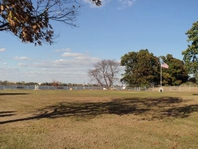
3. Site of Fort Billingsport
The fort at this location was designed by Gen. Thaddeus Kosciuszko, his first engineering assignment from the Continental Congress. It protected Philadelphia for about a month in the fall of 1777 before being taken by the British.
Credits. This page was last revised on June 16, 2016. It was originally submitted on October 28, 2013, by Bill Coughlin of Woodland Park, New Jersey. This page has been viewed 898 times since then and 33 times this year. Photos: 1, 2, 3. submitted on October 28, 2013, by Bill Coughlin of Woodland Park, New Jersey.
