
Placerville in El Dorado County, California — The American West (Pacific Coastal)
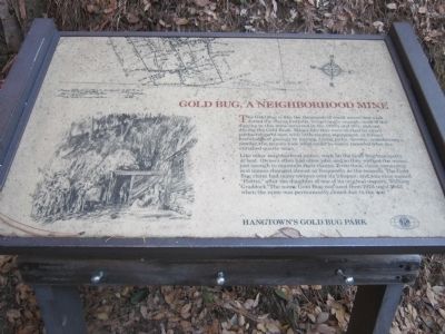
Gold Bug, A Neighborhood Mine
Photographed by Syd Whittle, October 30, 2013
1. Gold Bug, A Neighborhood Mine Marker
Like other neighborhood mines, work on the Gold Bug was spotty at best. Owners often had other jobs, and so they worked the mines just enough to maintain their claims. Even then, claim ownership and names changed almost as frequently as the seasons. The Gold Bug claim had many owners over its lifespan, and was once named “Hattie,” after the daughter of one of its original owners. William Craddock. The name Gold Bug was used from 1924 until 1942, when the mine was permanently closed do to the war.
Erected by Hangtown's Gold Bug Park - Town of Placerville.
Topics. This historical marker is listed in this topic list: Natural Resources. A significant historical year for this entry is 1924.
Location. 38° 44.572′ N,
this page online

Regionally, this marker is in California’s Sacramento Metro, in the Gold Country, in the Sierra Nevada, and in the Lake Tahoe Basin. It is also in the American Mountain West. Globally, it is in North America, on the Ring of Fire, in the Pacific Rim, in the Western Hemisphere, in the Western World, and in the Anglosphere. Historically, it finds itself in what was once New Spain and also Mexico’s Alta California.
Other nearby markers. At least 8 other markers are within walking distance of this marker: Hangtown’s Gold Bug Park (within shouting distance of this marker); The Stamp Mill (about 700 feet away, measured in a direct line); Placerville (approx. 0.9 miles away); Bee-Bennett House (approx. 0.9 miles away); County of El Dorado Courthouse Restoration (approx.
Photographed by Syd Whittle, October 30, 2013
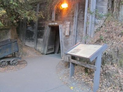
2. Gold Bug, A Neighborhood Mine Marker and Entrance to the Mine
Photographed by Syd Whittle, October 30, 2013
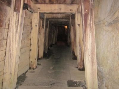
3. The Gold Bug
Photographed by Syd Whittle, October 30, 2013
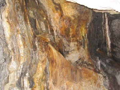
4. Mineral Deposits from the Continuous Dripping Water
Photographed by Syd Whittle, October 30, 2013
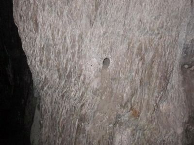
5. Blasting Hole
These holes were drilled by miners. Blasting powder and a fuse were placed in these holes and the next section of the tunnel was opened up. The blasted debris was then cleared out and the rocks sent to the stamp mill.
Photographed by Syd Whittle, October 30, 2013
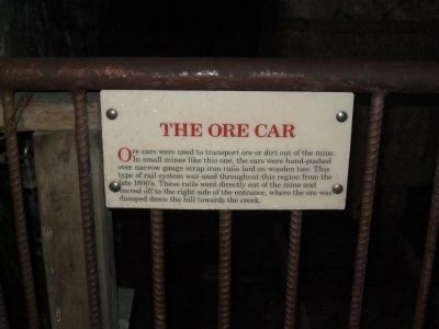
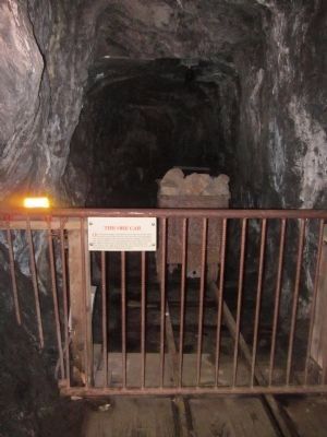
6. The Ore Car
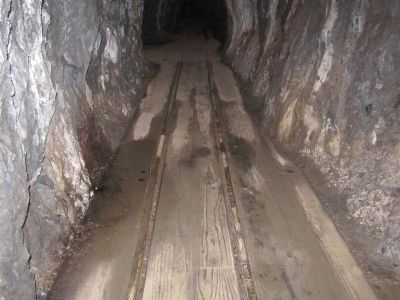
Ore cars were used to transport ore or dirt out of the mine. In small mines like this one, the cars were hand-pushed over narrow gauge scrap iron rails laid on wooded ties. This type of rail system was used throughout this region from the late 1800's. These rails went directly out of the mine and veered off to the right side of the entrance, where the ore was dumped down the hill towards the creek.
Photographed by Syd Whittle, October 30, 2013
7. An Ore Car
Photographed by Syd Whittle, October 30, 2013
8. Narrow Gauge Rail Tracks
Credits. This page was last revised on June 16, 2016. It was originally submitted on October 31, 2013, by Syd Whittle of Mesa, Arizona. This page has been viewed 1,012 times since then and 35 times this year. Photos: 1, 2, 3, 4, 5, 6, 7, 8. submitted on October 31, 2013, by Syd Whittle of Mesa, Arizona.
