Allegan in Allegan County, Michigan — The American Midwest (Great Lakes)
Allegan County
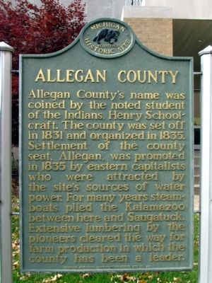
Photographed by Duane Hall, October 28, 2013
1. Allegan County Marker
Erected 1962 by Michigan Historical Commission. (Marker Number S0226.)
Topics and series. This historical marker is listed in this topic list: Settlements & Settlers. In addition, it is included in the Michigan Historical Commission series list. A significant historical year for this entry is 1831.
Location. 42° 31.677′ N, 85° 51.064′ W. Marker is in Allegan, Michigan, in Allegan County. It is at the intersection of Chestnut Street and Hubbard Street, on the right when traveling south on Chestnut Street. Marker is at the southeast corner of the County Courthouse complex. Touch for map. Marker is at or near this postal address: 113 Chestnut Street, Allegan
this page online

Regionally, this marker is in Southwest Michigan, specifically in Greater Grand Rapids, and in one of the Lake Michigan Shore counties. It is also in the American Midwest. Globally, it is in North America, on the Great Lakes, in the Western Hemisphere, in the Western World, and in the Anglosphere. Historically, it finds itself in what was once the Northwest Territory.
Other nearby markers. At least 8 other markers are within walking distance of this marker: Allegan Civil War Monument (here, next to this marker); Original Courthouse (within shouting distance of this marker); Original Foundation of the Church of Good Shepherd (about 500 feet away, measured in a direct line); Episcopal Church of Good Shepherd (about 500 feet away); Welcome to Allegan (about 500 feet away); Allegan Civil War Memorial (about 500 feet away); Allegan County Historical Society (about 500 feet away); 1836 Ben Eager Tavern (about 600 feet away). Touch for a list and map of all markers in Allegan.
Also see . . . History of Allegan County. From Michigan History Magazine on the Southwest
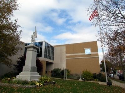
Photographed by Duane Hall, October 28, 2013
2. Allegan County Marker and Civil War Monument
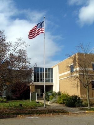
Photographed by Duane Hall, October 28, 2013
3. Allegan County Marker
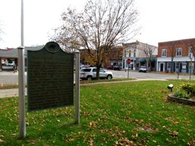
Photographed by Duane Hall, October 28, 2013
4. Allegan County Marker
Credits. This page was last revised on May 12, 2021. It was originally submitted on November 1, 2013, by Duane Hall of Abilene, Texas. This page has been viewed 1,468 times since then and 79 times this year. Photos: 1, 2, 3, 4. submitted on November 1, 2013, by Duane Hall of Abilene, Texas.
