Old Town in Alexandria, Virginia — The American South (Mid-Atlantic)
Guarding the Potomac
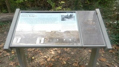
Battery Rodgers 1863-1865
The area around Jones Point, which lies just south of the nationís capital, was an obvious location for early defensive fortifications. During the Civil War (1861-1865), Battery Rodgers was built overlooking the cove to guard the river approach to Washington. The battery also commanded the southern approaches to Alexandria by covering the Accotink Road (modern Fort Hunt Road). Though no visible remains of Battery Rodgers exist today, the complex once included the fortification, barracks, hospital and a slaughterhouse built especially to feed troops in Alexandria.
(side panel)
(Battery Rodgers) was arranged to throw its principal fire at any vessel attempting to pass up the river at a range of 600 yards... —General J.G. Barnard
(captions)
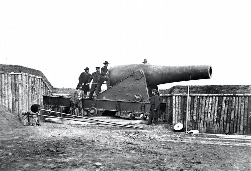
(background) Battery Rodgers was powerfully equipped with five 200-pound Parrott rifles and one 15-inch Rodman gun, but no shots—or men—were ever fired on enemy ships by its guns.
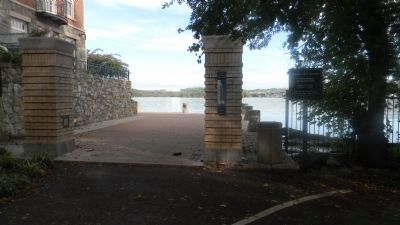
This view of the battery shows the 15-inch Rodman gun and the powder magazines overlooking Battery Cove. In 1911, the cove was filled in by the Army Corps of Engineers, creating 46.5 acres of new land, including the spot on which youíre standing. The battery is thought to have been just up the hill to the right.
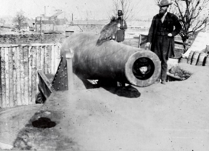
(top right) Visitors posing with—and in—the Rodman gun, circa 1863-1865 Image courtesy of the National Archives and Records Administration
Erected 2012 by National Park Service.
Topics. This historical marker is listed in these topic lists: Forts and Castles • War, US Civil. A significant historical year for this entry is 1911.
Location. 38° 47.77′ N, 77° 2.53′ W. Marker is in Alexandria, Virginia. It is in Old Town. Marker can be reached from the intersection of Jefferson Street and South Lee Street when traveling east. Marker is located along the Mount Vernon Trail in Jones Point Park. Touch for map. Marker is in this post office area: Alexandria VA 22314, United States of America. Touch for directions.
Other nearby markers. At least 8 other markers are within walking distance of this marker. Zion Baptist Church (about 400 feet away, measured in a direct line); Battery Rodgers (about 500 feet away); The Federal District and Alexandria (about 600 feet away); The Civil War and Battery Rodgers (about 600 feet away); Early Alexandria and Keith's Wharf (about 600 feet away); The Alexandria Marine Railway (about 600 feet away); The Earliest Inhabitants (about 600 feet away); Battery Cove Filled: A New Shipyard (about 600 feet away). Touch for a list and map of all markers in Alexandria.
Related markers. Click here for a list of markers that are related to this marker.
Credits. This page was last revised on January 28, 2023. It was originally submitted on October 17, 2013, by Richard E. Miller of Oxon Hill, Maryland. This page has been viewed 837 times since then and 35 times this year. Last updated on November 2, 2013, by Richard E. Miller of Oxon Hill, Maryland. Photos: 1, 2. submitted on October 17, 2013, by Richard E. Miller of Oxon Hill, Maryland. 3, 4. submitted on April 7, 2019, by Allen C. Browne of Silver Spring, Maryland. 5. submitted on October 18, 2013, by Richard E. Miller of Oxon Hill, Maryland. • Bernard Fisher was the editor who published this page.
