Springfield in Union County, New Jersey — The American Northeast (Mid-Atlantic)
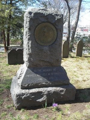
Patriots who fell at Springfield
Patriots who fell at Springfield
June 23, 1780
Erected by New Jersey State Society Sons of the American Revolution.
Topics and series. This historical marker is listed in these topic lists: Cemeteries & Burial Sites • Patriots & Patriotism • War, US Revolutionary. In addition, it is included in the Sons of the American Revolution (SAR) series list. A significant historical month for this entry is June 1785.
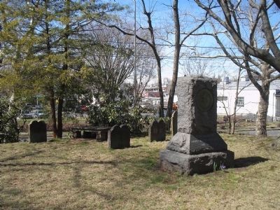
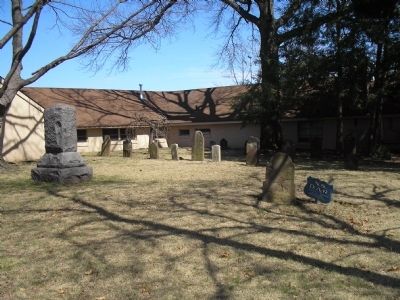
Location. 40° 42.6′ N, 74° 18.717′ W. Marker is in Springfield, New Jersey, in Union County. Marker can be reached from Mountain Avenue (County Route 635), on the left when traveling south. Marker is in a small cemetery operated by D.A.R. Touch for map. Marker is at or near this postal address: 8 Mountain Ave, Springfield NJ 07081, United States of America. Touch for directions.
Other nearby markers. At least 8 other markers are within walking distance of this marker. Springfield (about 600 feet away, measured in a direct line); Colonial Church (about 600 feet away); The Battle of Springfield (about 700 feet away); The Cannonball House (approx. ¼ mile away); a different marker also named Battle of Springfield (approx. ¼ mile away); The Jersey Militia and Continental Army (approx. half a mile away); To the memory of Colonel Israel Angell (approx. 0.6 miles away); Colonel Elias Dayton (approx. 0.6 miles away). Touch for a list and map of all markers in Springfield.
Also see . . . The Battles of Connecticut Farms and Springfield. (Submitted on April 10, 2008, by Bill Coughlin of Woodland Park, New Jersey.)
Credits. This page was last revised on June 16, 2016. It was originally submitted on April 10, 2008, by Bill Coughlin of Woodland Park, New Jersey. This page has been viewed 1,652 times since then and 20 times this year. Photos: 1, 2, 3. submitted on April 10, 2008, by Bill Coughlin of Woodland Park, New Jersey. • Kevin W. was the editor who published this page.


