Englewood in Bergen County, New Jersey — The American Northeast (Mid-Atlantic)
Liberty Pole
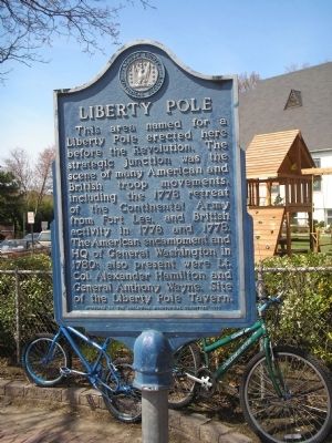
This area named for a Liberty Pole erected here before the Revolution. The strategic junction was the scene of many American and British troop movements, including the 1776 retreat of the Continental Army from Fort Lee, and British activity in 1776 and 1778. The American encampment and HQ of General Washington in 1780; also present were Lt. Col. Alexander Hamilton and General Anthony Wayne. Site of the Liberty Pole Tavern.
Sponsored by the Englewood Bicentennial Committee 1976
Erected 1976 by Bergen County Historical Society. (Marker Number 71.)
Topics and series. This historical marker is listed in this topic list: War, US Revolutionary. In addition, it is included in the Former U.S. Presidents: #01 George Washington, and the New Jersey, Bergen County Historical Society series lists. A significant historical year for this entry is 1776.
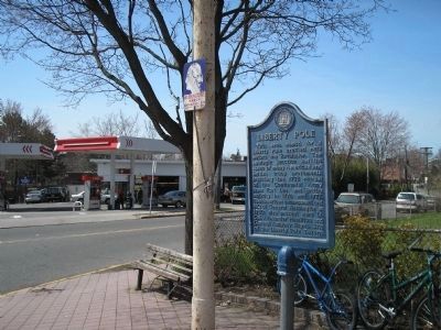
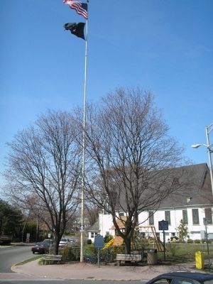
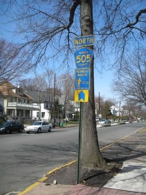
Location. 40° 53.797′ N, 73° 58.803′ W. Marker is in Englewood, New Jersey, in Bergen County. Marker is at the intersection of West Palisade Avenue (County Route 505) and Lafayette Avenue, on the left when traveling west on West Palisade Avenue. Marker is located at a traffic circle. Touch for map. Marker is in this post office area: Englewood NJ 07631, United States of America. Touch for directions.
Other nearby markers. At least 8 other markers are within 2 miles of this marker, measured as the crow flies. A different marker also named Liberty Pole (here, next to this marker); Saint Paul’s Episcopal Church (approx. half a mile away); John G. Benson House (approx. half a mile away); First Presbyterian Church (approx. 0.6 miles away); De Mott – Westervelt House (approx. 0.9 miles away); Brookside Chapel (approx. one mile away); English Neighborhood Union School (approx. 1.2 miles away); Van Horne’s Grist Mill (approx. 1.6 miles away). Touch for a list and map of all markers in Englewood.
Also see . . . Bergen County Historical Society. Society website entry (Submitted on April 10, 2008, by Bill Coughlin of Woodland Park, New Jersey.)
Credits. This page was last revised on December 13, 2021. It was originally submitted on April 10, 2008, by Bill Coughlin of Woodland Park, New Jersey. This page has been viewed 3,077 times since then and 43 times this year. Photos: 1, 2, 3, 4. submitted on April 10, 2008, by Bill Coughlin of Woodland Park, New Jersey. • Christopher Busta-Peck was the editor who published this page.


